Medium airport · Ecuador

Jose Maria Velasco Ibarra AirportSEMA
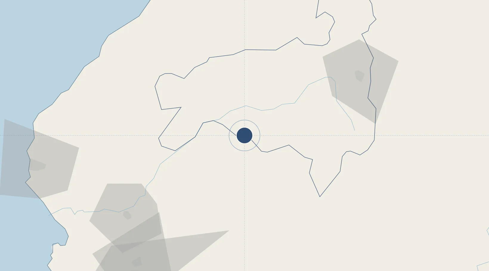
-4.3782°, -79.9410°
3,532 ft
Longest runway
1
Runways
1,508 ft
Elevation

Runway & Layout

Jose Maria Velasco Ibarra Airport runway & taxiway layout
Runway & taxiway layout — OpenStreetMap (ODbL) / OurAirports

Radio Frequencies

TWR
122.7 MHz
MACARA TWR
OurAirports

Navaids

MAC NDB Macara 285 kHz
OurAirports

Runways · 1

RunwayDimensions SurfaceTrue headingLit
01/19 3,532 × 65ft Asphalt 012°
OurAirports

Airport Specifications

IATA code
MRR
OurAirports
ICAO code
SEMA
OurAirports
Airport class
Medium airport
OurAirports
Scheduled service
No
OurAirports
Runway surface
Asphalt
OurAirports
Served city
Macará
OurAirports

Location

Location of SEMA
Natural Earth 10m (public domain) · Loja · SEMA · -4.38, -79.94GoogleOSMYandex

Nearby Logistics Neighbours

Cities
  1. 1Puerto Bolívar124 km
  2. 2Los Organos132 km
  3. 3San Ignacio134 km
  4. 4Paita149 km
  5. 5Puerto Balao Grande165 km
Nearest neighbours — logibook spatial index (haversine) over the source coordinates
Ports
  1. 1Puerto Bolivar124 km
  2. 2Puerto Cabo Blanco144 km
  3. 3Caleta Lobitos149 km
  4. 4Talara151 km
  5. 5Paita152 km
Nearest neighbours — logibook spatial index (haversine) over the source coordinates
Trade Zones
  1. 1Zona Franca del Oro121 km
  2. 2Zona Especial de Desarrollo Paita (Special Development Zone of Paita)149 km
  3. 3Posorja ZofraPort SA Free Zone190 km
  4. 4DP World Posorja190 km
  5. 5Contecon Guayaquil Free Zone233 km
Nearest neighbours — logibook spatial index (haversine) over the source coordinates
DatabookThe Record of Consolidated Knowledge
Ecuador beyond logistics?
Browse databook

All Sources

AirportsOurAirports
Public domain
Portsthe NGA World Port Index
Public domain (US gov)
LocationsUN/LOCODE
UN/LOCODE — free
Trade Zonesthe World Bank SEZ database
CC BY 4.0
Trade ZonesOpen Zone Map
CC BY
InfrastructureOpenStreetMap
ODbL 1.0
← Ecuador airports