Seaport · Peru
PaitaPEPAI
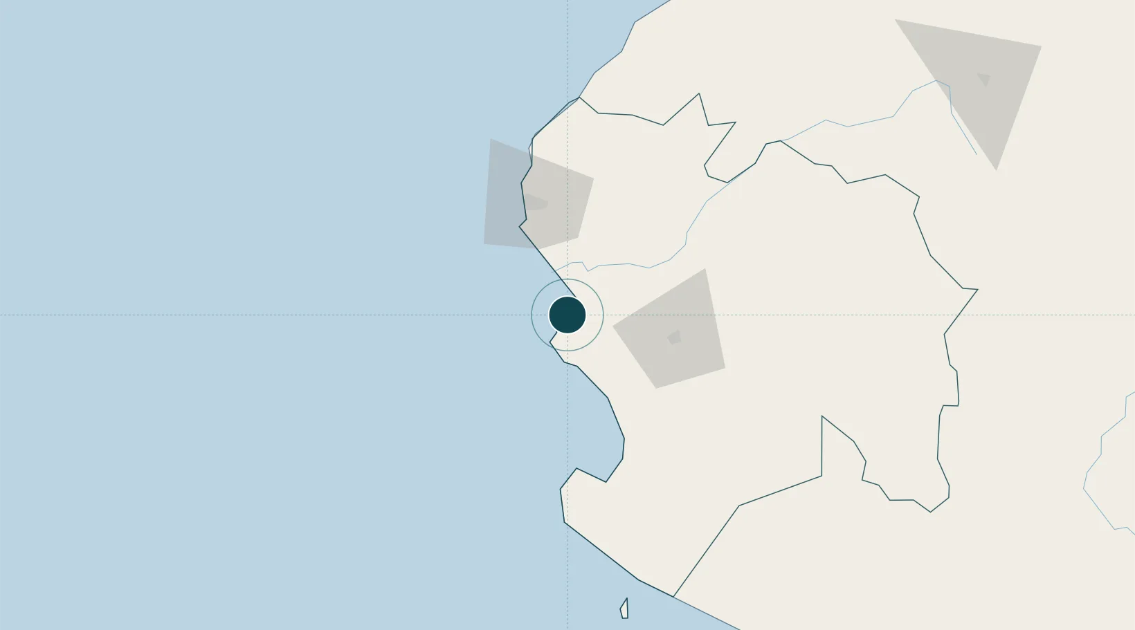
-5.0833°, -81.1167°
9.4 m
Channel depth
1
Container terminals
139.0
Port liner connectivity
Channel & Berth Profile
Pilotage, Tugs & Services
Pilotage compulsoryYES
Pilotage availableYES
Pilotage advisableYES
Tug assistanceYES
Shore powerYES
Potable waterYES
MedicalYES
Garbage disposalYES
Facilities & Capabilities
Container—
Ro-Ro—
Liquid bulk—
Dry bulk—
Oil terminal—
Break bulk—
Dry dock—
RepairsNO
Bunkering—
Rail linkYES
Dangerous cargo—
ISPS security—
Harbour Specifications
Harbour size
Very Small
Harbour type
Open Roadstead
Shelter
Fair
Water body
South Pacific Ocean
Tidal range
4 m
Pilotage
Yes
Liner Connectivity
139
PLSCI
Port Liner Shipping Connectivity Index for Paita, as published by UNCTAD for the latest available quarter. Higher values indicate stronger scheduled liner-shipping integration.
Shown relative to the highest per-port PLSCI in the dataset (1,657.9).
Location
Container Terminals · 1
TERMINALES PORTUARIOS EUROANDINOS PAITA (TPE)
TPE TERMINALES PORTUARIOS EUROANDINOS PAITA S.A. (TPE) (YILPORT HOLDING INC. / DP WORLD)
Nearby Logistics Neighbours
Ports
- 1Talara59 km
- 2Caleta Lobitos73 km
- 3Puerto Bayovar84 km
- 4Puerto Cabo Blanco94 km
- 5Pimentel235 km
Cities
- 1Bayovar85 km
- 2Los Organos100 km
- 3Olmos183 km
- 4San Ignacio235 km
- 5Puerto Bolívar240 km
Airports
Trade Zones
DatabookThe Record of Consolidated Knowledge
Peru beyond logistics?