Medium airport · Peru

Captain Victor Montes Arias International AirportSPYL
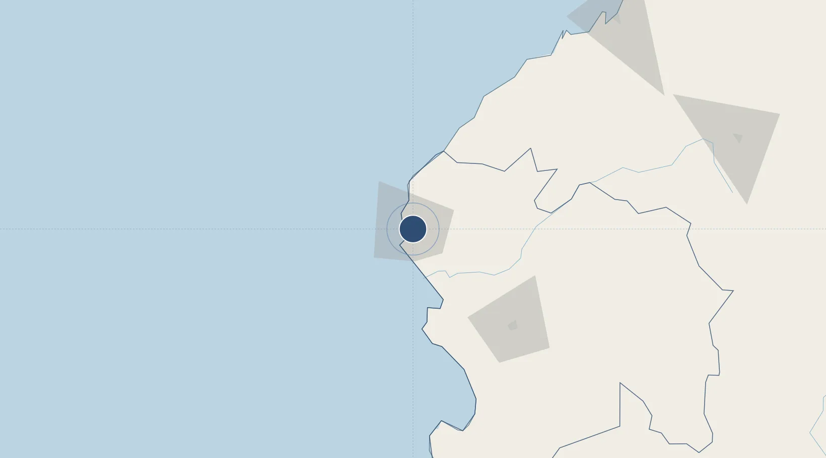
-4.5766°, -81.2541°
8,038 ft
Longest runway
1
Runways
282 ft
Elevation

Runway & Layout

Captain Victor Montes Arias International Airport runway & taxiway layout
Runway & taxiway layout — OpenStreetMap (ODbL) / OurAirports

Radio Frequencies

RDO
119.5 MHz
TALARA RDO
OurAirports

Navaids

TAL VOR Talara 116.10 MHz
TYL NDB Talara 370 kHz
OurAirports

Runways · 1

RunwayDimensions SurfaceTrue headingLit
17/35 8,038 × 148ft Asphalt 170°
OurAirports

Airport Specifications

IATA code
TYL
OurAirports
ICAO code
SPYL
OurAirports
Airport class
Medium airport
OurAirports
Scheduled service
Yes
OurAirports
Runway surface
Asphalt
OurAirports
Served city
Talara
OurAirports

Location

Location of SPYL
Natural Earth 10m (public domain) · Piura · SPYL · -4.58, -81.25GoogleOSMYandex

Nearby Logistics Neighbours

Cities
  1. 1Los Organos46 km
  2. 2Paita59 km
  3. 3Bayovar143 km
  4. 4Puerto Bolívar205 km
  5. 5Olmos230 km
Nearest neighbours — logibook spatial index (haversine) over the source coordinates
Ports
  1. 1Talara3 km
  2. 2Caleta Lobitos14 km
  3. 3Puerto Cabo Blanco36 km
  4. 4Paita58 km
  5. 5Puerto Bayovar142 km
Nearest neighbours — logibook spatial index (haversine) over the source coordinates
Trade Zones
  1. 1Zona Especial de Desarrollo Paita (Special Development Zone of Paita)60 km
  2. 2Zona Franca del Oro206 km
  3. 3Posorja ZofraPort SA Free Zone237 km
  4. 4DP World Posorja237 km
  5. 5Contecon Guayaquil Free Zone296 km
Nearest neighbours — logibook spatial index (haversine) over the source coordinates
DatabookThe Record of Consolidated Knowledge
Peru beyond logistics?
Browse databook

All Sources

AirportsOurAirports
Public domain
Portsthe NGA World Port Index
Public domain (US gov)
LocationsUN/LOCODE
UN/LOCODE — free
Trade Zonesthe World Bank SEZ database
CC BY 4.0
Trade ZonesOpen Zone Map
CC BY
InfrastructureOpenStreetMap
ODbL 1.0
← Peru airports