Transport Functions
Multimodal
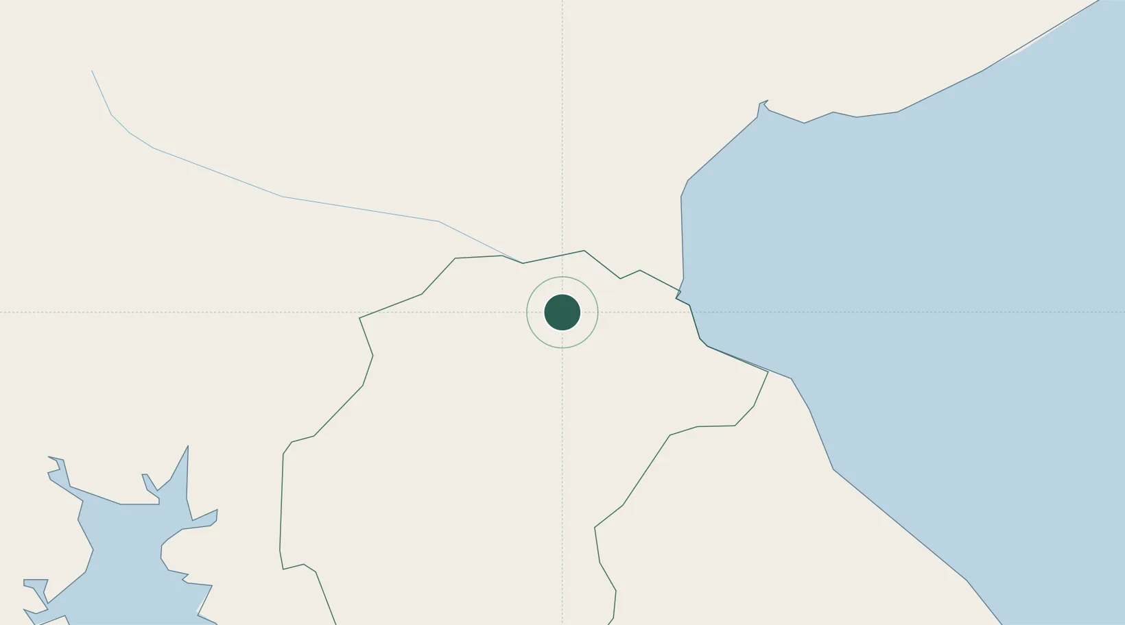
Hub Profile
Place type
District seat
Region
Herrera Province
Population
795
Time zone
America/Panama
Elevation
32 m
Location
Nearby Logistics Neighbours
Cities
- 1Cañazas12 km
- 2Pesé19 km
- 3Chitre23 km
- 4Herrera27 km
- 5Los Santos27 km
Ports
- 1Punta Rincon106 km
- 2Vacamonte137 km
- 3Balboa152 km
- 4Puerto Cristobal162 km
- 5Puerto Colon166 km
Airports
Trade Zones
DatabookThe Record of Consolidated Knowledge
Panama beyond logistics?