UN/LOCODE hub · Panama
PAHER

Herrera

7.8333°, -80.6667°
2
Transport functions

Transport Functions

Port
Multimodal
UN/LOCODE

Hub Profile

Region
7
GeoNames

Location

Location of PAHER
Natural Earth 10m (public domain) · 7 · PAHER · 7.83, -80.67GoogleOSMYandex

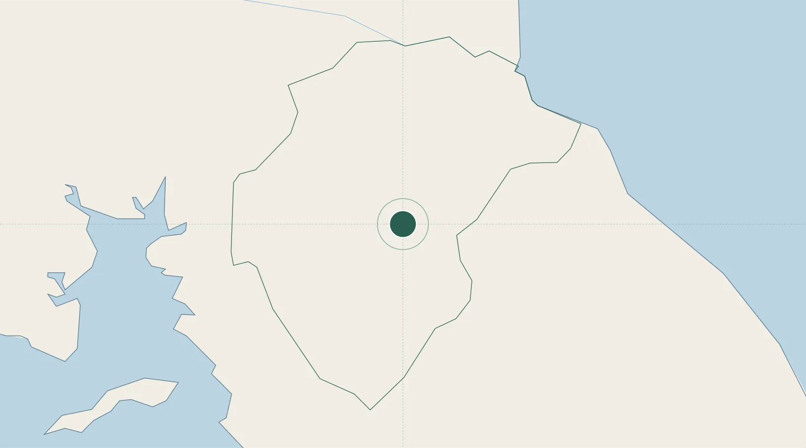
Nearby Logistics Neighbours

Cities
  1. 1Pesé9 km
  2. 2Potuga27 km
  3. 3Agua Buena29 km
  4. 4Chitre30 km
  5. 5Los Santos30 km
Nearest neighbours — logibook spatial index (haversine) over the source coordinates
Ports
  1. 1Punta Rincon132 km
  2. 2Vacamonte159 km
  3. 3Balboa173 km
  4. 4Puerto Cristobal188 km
  5. 5Puerto Colon191 km
Nearest neighbours — logibook spatial index (haversine) over the source coordinates
Airports
  1. 1Alonso Valderrama Airport33 km
  2. 2Ruben Cantu Airport42 km
  3. 3Capt. J. Montenegro Airport76 km
  4. 4Scarlett Martinez International Airport85 km
  5. 5Pixvae Airstrip99 km
Nearest neighbours — logibook spatial index (haversine) over the source coordinates
Trade Zones
  1. 1Zona Franca Cobol Due25 km
  2. 2Panamá Pacífico Special Economic Area169 km
  3. 3Zona Franca Marpesca Corozal175 km
  4. 4City of Knowledge (Ciudad del Saber)176 km
  5. 5Zona Franca de Albrook177 km
Nearest neighbours — logibook spatial index (haversine) over the source coordinates
DatabookThe Record of Consolidated Knowledge
Panama beyond logistics?
Browse databook

All Sources

LocationsUN/LOCODE
UN/LOCODE — free
Portsthe NGA World Port Index
Public domain (US gov)
AirportsOurAirports
Public domain
Trade Zonesthe World Bank SEZ database
CC BY 4.0
Trade ZonesOpen Zone Map
CC BY
← Panama locations