Transport Functions
Port
Road
Hub Profile
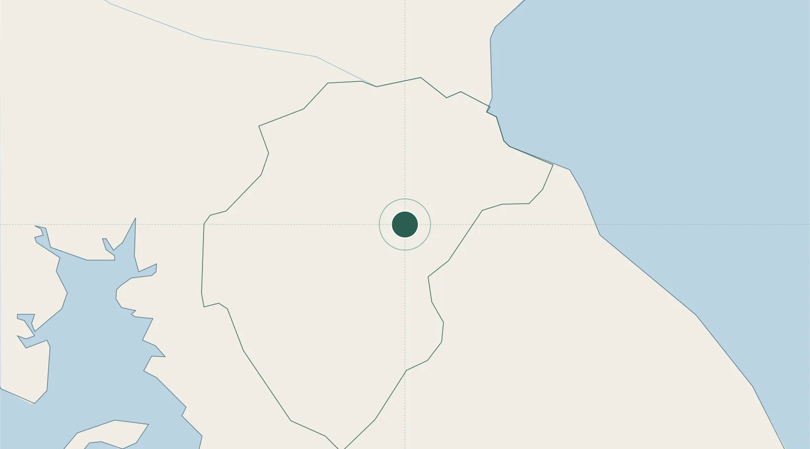
Place type
Provincial seat
Region
Herrera Province
Population
2,565
Time zone
America/Panama
Elevation
85 m
Location
Nearby Logistics Neighbours
Cities
- 1Herrera9 km
- 2Potuga19 km
- 3Chitre22 km
- 4Los Santos22 km
- 5Agua Buena26 km
Ports
- 1Punta Rincon125 km
- 2Vacamonte150 km
- 3Balboa164 km
- 4Puerto Cristobal179 km
- 5Puerto Colon182 km
Airports
Trade Zones
DatabookThe Record of Consolidated Knowledge
Panama beyond logistics?