UN/LOCODE hub · New Zealand
NZPP8
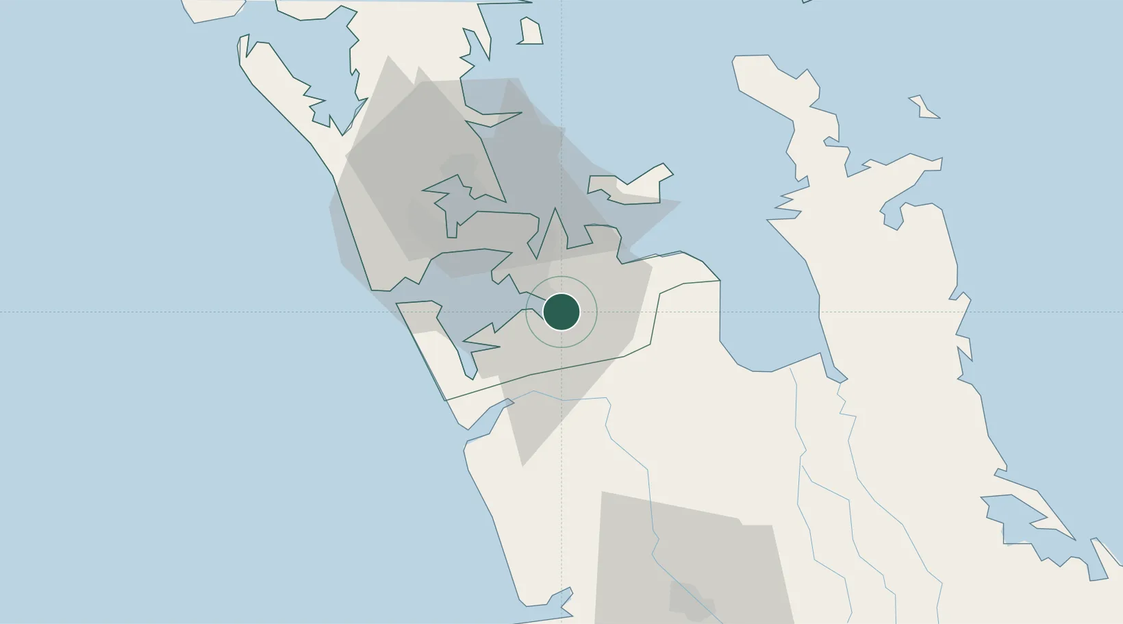
Papakura
-37.0833°, 174.9500°
35,580
Population
1
Transport functions
Transport Functions
Rail
Hub Profile
Place type
Populated place
Region
Auckland
Population
35,580
Time zone
Pacific/Auckland
Elevation
14 m
Location
Nearby Logistics Neighbours
Cities
- 1Drury2 km
- 2Auckland20 km
- 3Metroport/Auckland22 km
- 4Tamaki23 km
- 5Onehunga (Manukau Harbour)27 km
Ports
- 1Manukau Harbor22 km
- 2Auckland31 km
- 3Tauranga124 km
- 4Whangarei150 km
- 5Opua210 km
Airports
Trade Zones
- 1Hicks Bay Area Special Economic Zone287 km
- 2Rotuma-Kadavu Tax-Free Region2133 km
- 3Kalabu Tax Free Zone2140 km
- 4Nausori-Ba Tax-Free Region2148 km
- 5Lautoka Special Zone2178 km
DatabookThe Record of Consolidated Knowledge
New Zealand beyond logistics?