Transport Functions
Port
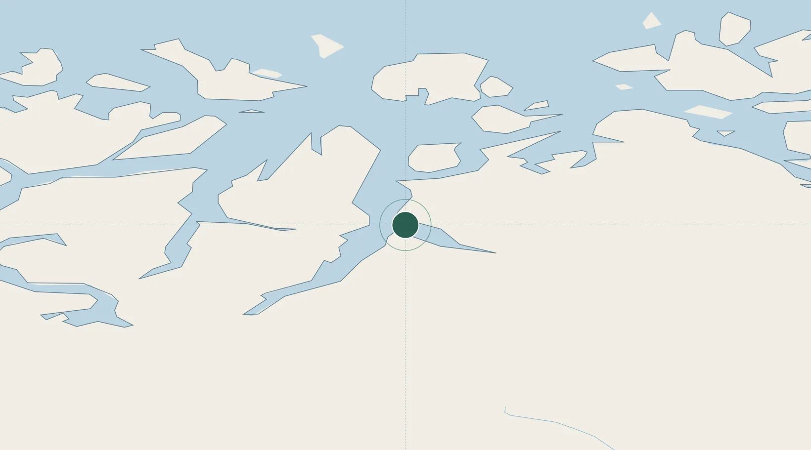
Hub Profile
Place type
Provincial seat
Region
Troms
Population
322
Time zone
Europe/Oslo
Elevation
29 m
Location
Nearby Logistics Neighbours
Cities
- 1Lyngseidet12 km
- 2Djupvik17 km
- 3Tytebærvika21 km
- 4Skibotn26 km
- 5Jøvik27 km
Airports
- 1Sørkjosen Airport27 km
- 2Tromsø Airport63 km
- 3Bardufoss Airport98 km
- 4Hasvik Airport116 km
- 5Alta Airport117 km
Trade Zones
- 1Murmansk Special Economic Zone499 km
- 2Oulu Port Free Warehouse Area553 km
- 3Free Zone of Lappeenranta1013 km
- 4Turku Free Zone1021 km
- 5Port of Hamina-Kotka1058 km
DatabookThe Record of Consolidated Knowledge
Norway beyond logistics?