Transport Functions
Port
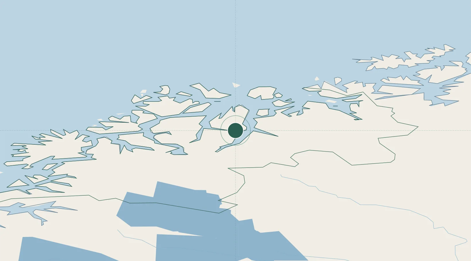
Hub Profile
Place type
Provincial seat
Region
Troms
Population
821
Time zone
Europe/Oslo
Elevation
39 m
Location
Nearby Logistics Neighbours
Cities
- 1Tytebærvika10 km
- 2Olderdalen12 km
- 3Jøvik16 km
- 4Djupvik22 km
- 5Skibotn22 km
Airports
- 1Sørkjosen Airport37 km
- 2Tromsø Airport51 km
- 3Bardufoss Airport88 km
- 4Hasvik Airport124 km
- 5Alta Airport129 km
Trade Zones
- 1Murmansk Special Economic Zone510 km
- 2Oulu Port Free Warehouse Area556 km
- 3Free Zone of Lappeenranta1016 km
- 4Turku Free Zone1020 km
- 5Port of Hamina-Kotka1060 km
DatabookThe Record of Consolidated Knowledge
Norway beyond logistics?