Transport Functions
Port
Hub Profile
Region
19
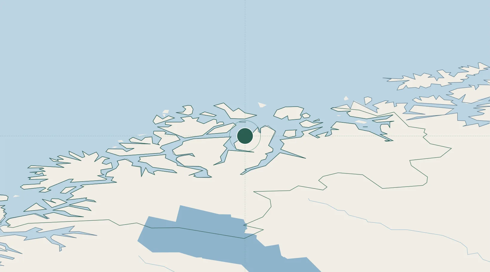
Location
Nearby Logistics Neighbours
Cities
- 1Lenangsøyra0 km
- 2Nordlenangen13 km
- 3Oldervik14 km
- 4Stakkvik19 km
- 5Djupvik21 km
Airports
- 1Sørkjosen Airport38 km
- 2Tromsø Airport44 km
- 3Bardufoss Airport102 km
- 4Hasvik Airport110 km
- 5Alta Airport131 km
Trade Zones
- 1Oulu Port Free Warehouse Area583 km
- 2Free Zone of Lappeenranta1044 km
- 3Turku Free Zone1047 km
- 4Port of Hamina-Kotka1087 km
- 5Freeport of Hanko1119 km
DatabookThe Record of Consolidated Knowledge
Norway beyond logistics?