Transport Functions
Port
Hub Profile
Place type
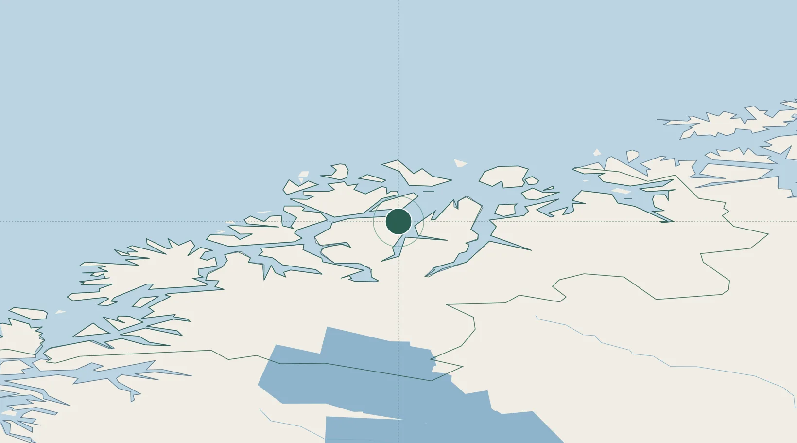
Populated place
Region
Troms
Time zone
Europe/Oslo
Elevation
1 m
Location
Nearby Logistics Neighbours
Cities
- 1Lenangen Søndre14 km
- 2Lenangsøyra14 km
- 3Jøvik18 km
- 4Tytebærvika20 km
- 5Stakkvik22 km
Airports
- 1Tromsø Airport30 km
- 2Sørkjosen Airport49 km
- 3Bardufoss Airport89 km
- 4Hasvik Airport124 km
- 5Alta Airport143 km
Trade Zones
- 1Oulu Port Free Warehouse Area582 km
- 2Turku Free Zone1041 km
- 3Free Zone of Lappeenranta1042 km
- 4Port of Hamina-Kotka1085 km
- 5Freeport of Hanko1113 km
DatabookThe Record of Consolidated Knowledge
Norway beyond logistics?