Transport Functions
Port
Hub Profile
Region
19
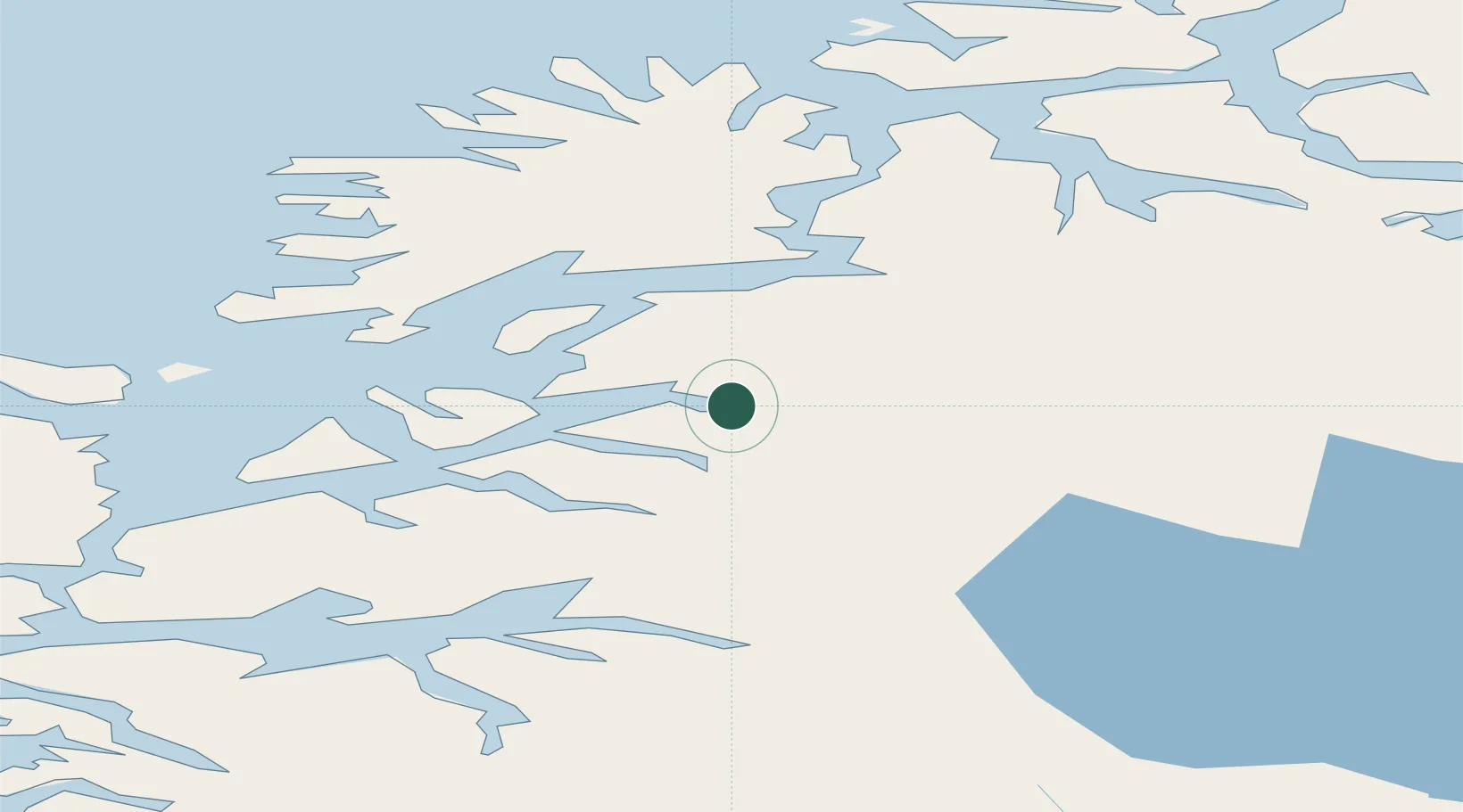
Location
Nearby Logistics Neighbours
Cities
- 1Salangen2 km
- 2Salangsverket5 km
- 3Fornes15 km
- 4Lavangen15 km
- 5Dyrøyhamn22 km
Ports
- 1Finnsnes39 km
- 2Harstad52 km
- 3Gibostad54 km
- 4Narvik54 km
- 5Lilandsgrunnen59 km
Airports
- 1Bardufoss Airport34 km
- 2Harstad/Narvik Airport64 km
- 3Andøya Airport, Andenes81 km
- 4Tromsø Airport99 km
- 5Stokmarknes Airport, Skagen118 km
Trade Zones
- 1Oulu Port Free Warehouse Area543 km
- 2Turku Free Zone961 km
- 3Free Zone of Lappeenranta994 km
- 4Port of Hamina-Kotka1029 km
- 5Freeport of Hanko1035 km
DatabookThe Record of Consolidated Knowledge
Norway beyond logistics?