UN/LOCODE hub · Norway
NOSAL

Salangen

68.8667°, 17.8167°
1
Transport functions

Transport Functions

Port
UN/LOCODE

Hub Profile

Region
19
GeoNames

Location

Location of NOSAL
Natural Earth 10m (public domain) · 19 · NOSAL · 68.87, 17.82GoogleOSMYandex

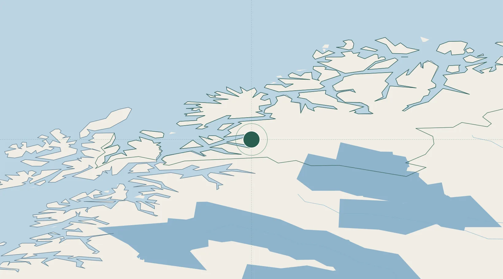
Nearby Logistics Neighbours

Cities
  1. 1Sjøvegan2 km
  2. 2Salangsverket6 km
  3. 3Lavangen13 km
  4. 4Fornes14 km
  5. 5Dyrøyhamn23 km
Nearest neighbours — logibook spatial index (haversine) over the source coordinates
Ports
  1. 1Sjovegan1 km
  2. 2Finnsnes41 km
  3. 3Harstad51 km
  4. 4Narvik52 km
  5. 5Gibostad55 km
Nearest neighbours — logibook spatial index (haversine) over the source coordinates
Airports
  1. 1Bardufoss Airport36 km
  2. 2Harstad/Narvik Airport62 km
  3. 3Andøya Airport, Andenes82 km
  4. 4Tromsø Airport101 km
  5. 5Stokmarknes Airport, Skagen117 km
Nearest neighbours — logibook spatial index (haversine) over the source coordinates
Trade Zones
  1. 1Oulu Port Free Warehouse Area542 km
  2. 2Turku Free Zone959 km
  3. 3Free Zone of Lappeenranta993 km
  4. 4Port of Hamina-Kotka1027 km
  5. 5Freeport of Hanko1033 km
Nearest neighbours — logibook spatial index (haversine) over the source coordinates
DatabookThe Record of Consolidated Knowledge
Norway beyond logistics?
Browse databook

All Sources

LocationsUN/LOCODE
UN/LOCODE — free
Portsthe NGA World Port Index
Public domain (US gov)
AirportsOurAirports
Public domain
Trade Zonesthe World Bank SEZ database
CC BY 4.0
Trade ZonesOpen Zone Map
CC BY
← Norway locations