Transport Functions
Port
Hub Profile
Place type
Populated place
Region
Troms
Time zone
Europe/Oslo
Elevation
1 m
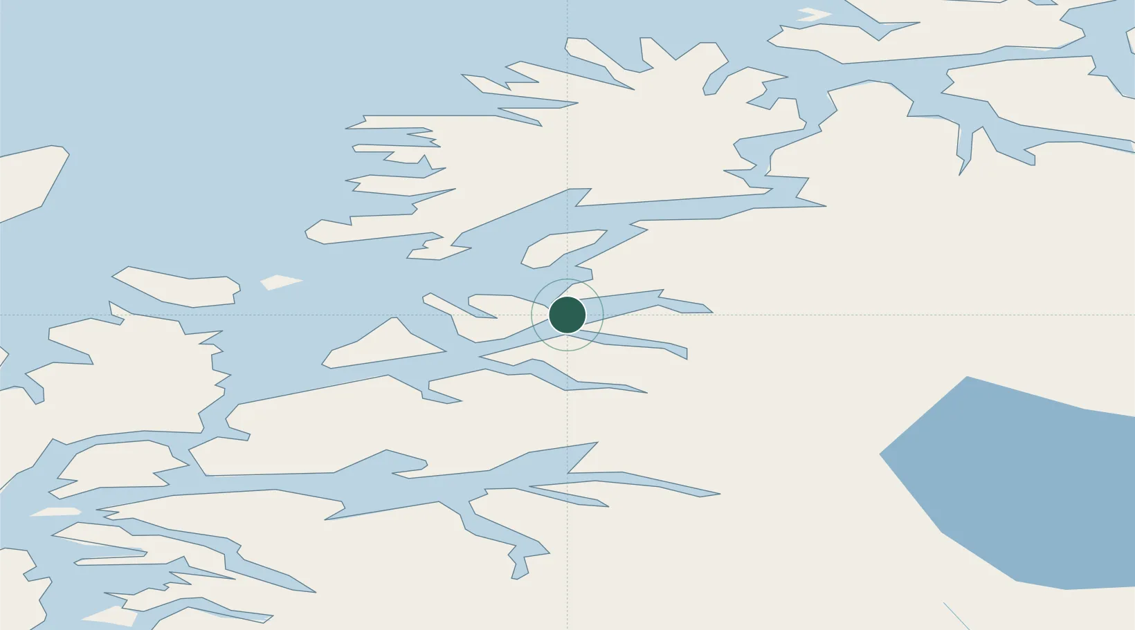
Location
Nearby Logistics Neighbours
Cities
- 1Salangsverket11 km
- 2Salangen14 km
- 3Sjøvegan15 km
- 4Dyrøyhamn17 km
- 5Lavangen18 km
Ports
- 1Sjovegan15 km
- 2Harstad38 km
- 3Finnsnes45 km
- 4Lilandsgrunnen49 km
- 5Narvik50 km
Airports
- 1Bardufoss Airport48 km
- 2Harstad/Narvik Airport53 km
- 3Andøya Airport, Andenes71 km
- 4Stokmarknes Airport, Skagen103 km
- 5Tromsø Airport107 km
Trade Zones
- 1Oulu Port Free Warehouse Area551 km
- 2Turku Free Zone963 km
- 3Free Zone of Lappeenranta1001 km
- 4Port of Hamina-Kotka1034 km
- 5Freeport of Hanko1037 km
DatabookThe Record of Consolidated Knowledge
Norway beyond logistics?