UN/LOCODE hub · Norway
NODYL

Dyrøyhamn

69.0167°, 17.4333°
1
Transport functions

Transport Functions

Port
UN/LOCODE

Hub Profile

Region
19
GeoNames

Location

Location of NODYL
Natural Earth 10m (public domain) · 19 · NODYL · 69.02, 17.43GoogleOSMYandex

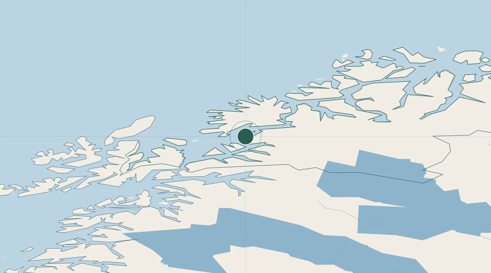
Nearby Logistics Neighbours

Cities
  1. 1Fornes17 km
  2. 2Espenesbogen17 km
  3. 3Salangsverket17 km
  4. 4Sjøvegan22 km
  5. 5Salangen23 km
Nearest neighbours — logibook spatial index (haversine) over the source coordinates
Ports
  1. 1Sjovegan22 km
  2. 2Finnsnes32 km
  3. 3Harstad43 km
  4. 4Gibostad46 km
  5. 5Andenes62 km
Nearest neighbours — logibook spatial index (haversine) over the source coordinates
Airports
  1. 1Bardufoss Airport44 km
  2. 2Andøya Airport, Andenes60 km
  3. 3Harstad/Narvik Airport66 km
  4. 4Tromsø Airport94 km
  5. 5Stokmarknes Airport, Skagen108 km
Nearest neighbours — logibook spatial index (haversine) over the source coordinates
Trade Zones
  1. 1Oulu Port Free Warehouse Area565 km
  2. 2Turku Free Zone979 km
  3. 3Free Zone of Lappeenranta1016 km
  4. 4Port of Hamina-Kotka1049 km
  5. 5Freeport of Hanko1054 km
Nearest neighbours — logibook spatial index (haversine) over the source coordinates
DatabookThe Record of Consolidated Knowledge
Norway beyond logistics?
Browse databook

All Sources

LocationsUN/LOCODE
UN/LOCODE — free
Portsthe NGA World Port Index
Public domain (US gov)
AirportsOurAirports
Public domain
Trade Zonesthe World Bank SEZ database
CC BY 4.0
Trade ZonesOpen Zone Map
CC BY
← Norway locations