UN/LOCODE hub · Norway
NOOSE

Osnes - Vindafjord

59.5833°, 5.5667°
1
Transport functions

Transport Functions

Port
UN/LOCODE

Hub Profile

Region
11
GeoNames

Location

Location of NOOSE
Natural Earth 10m (public domain) · 11 · NOOSE · 59.58, 5.57GoogleOSMYandex

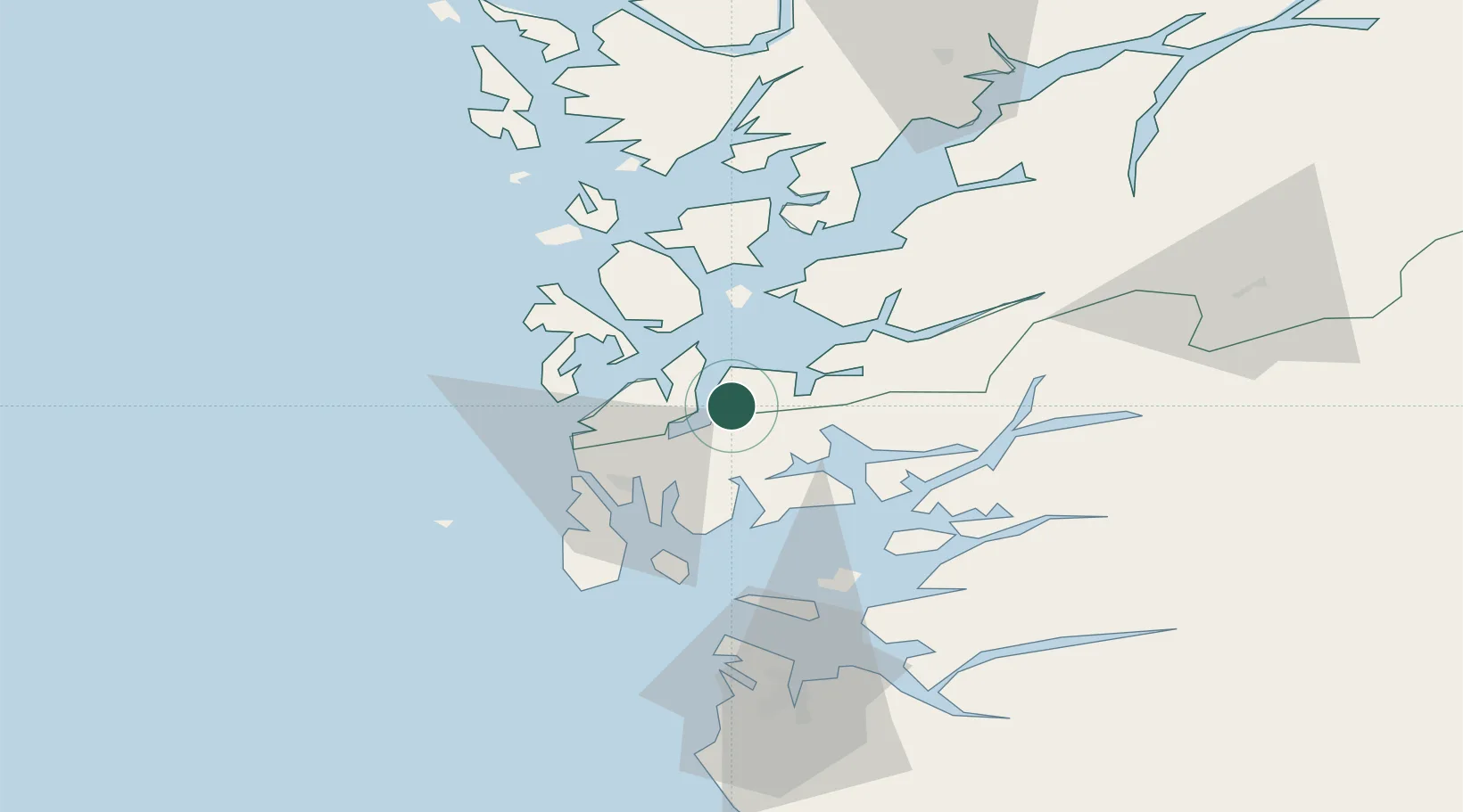
Nearby Logistics Neighbours

Cities
  1. 1Sveio13 km
  2. 2Ølen13 km
  3. 3Valevåg14 km
  4. 4Vats15 km
  5. 5Sandeid16 km
Nearest neighbours — logibook spatial index (haversine) over the source coordinates
Ports
  1. 1Mosterhamn16 km
  2. 2Leirvik20 km
  3. 3Haugesund26 km
  4. 4Husnes35 km
  5. 5Karsto35 km
Nearest neighbours — logibook spatial index (haversine) over the source coordinates
Airports
  1. 1Stord Airport, Sørstokken26 km
  2. 2Haugesund Airport, Karmøy33 km
  3. 3Stavanger Airport, Sola79 km
  4. 4Bergen Airport, Flesland81 km
  5. 5Sogndal Airport, Haukåsen195 km
Nearest neighbours — logibook spatial index (haversine) over the source coordinates
Trade Zones
  1. 1Gothenburg Boundless Customs Warehouse417 km
  2. 2Freeport of Kiel647 km
  3. 3Freeport of Cuxhaven (Freihafen Cuxhaven)666 km
  4. 4North Eastern Enterprise Zone670 km
  5. 5Tees Valley Enterprise Zone687 km
Nearest neighbours — logibook spatial index (haversine) over the source coordinates
DatabookThe Record of Consolidated Knowledge
Norway beyond logistics?
Browse databook

All Sources

LocationsUN/LOCODE
UN/LOCODE — free
Portsthe NGA World Port Index
Public domain (US gov)
AirportsOurAirports
Public domain
Trade Zonesthe World Bank SEZ database
CC BY 4.0
Trade ZonesOpen Zone Map
CC BY
← Norway locations