Transport Functions
Port
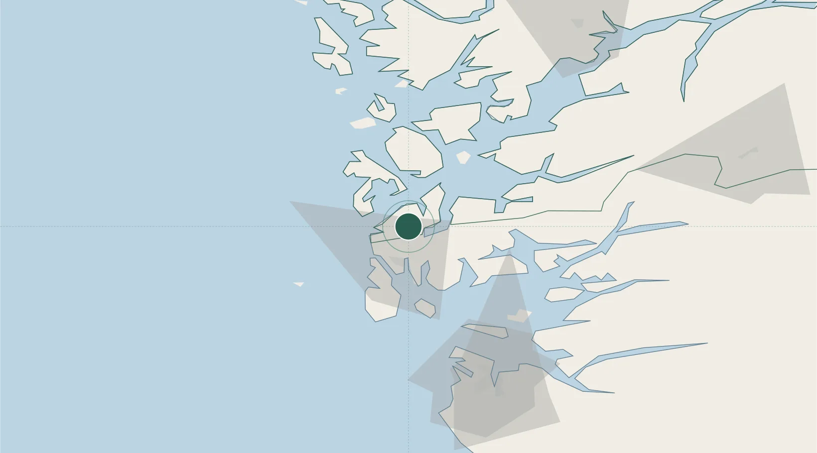
Hub Profile
Place type
Provincial seat
Region
Vestland
Population
1,529
Time zone
Europe/Oslo
Elevation
25 m
Location
Nearby Logistics Neighbours
Cities
- 1Mølstrevåg6 km
- 2Langevåg9 km
- 3Bømlo9 km
- 4Osnes - Vindafjord13 km
- 5Storesund16 km
Ports
- 1Haugesund16 km
- 2Mosterhamn17 km
- 3Leirvik25 km
- 4Kopervik30 km
- 5Akrahamn33 km
Airports
- 1Haugesund Airport, Karmøy24 km
- 2Stord Airport, Sørstokken27 km
- 3Stavanger Airport, Sola77 km
- 4Bergen Airport, Flesland83 km
- 5Sogndal Airport, Haukåsen204 km
Trade Zones
DatabookThe Record of Consolidated Knowledge
Norway beyond logistics?