Transport Functions
Port
Road
Hub Profile
Place type
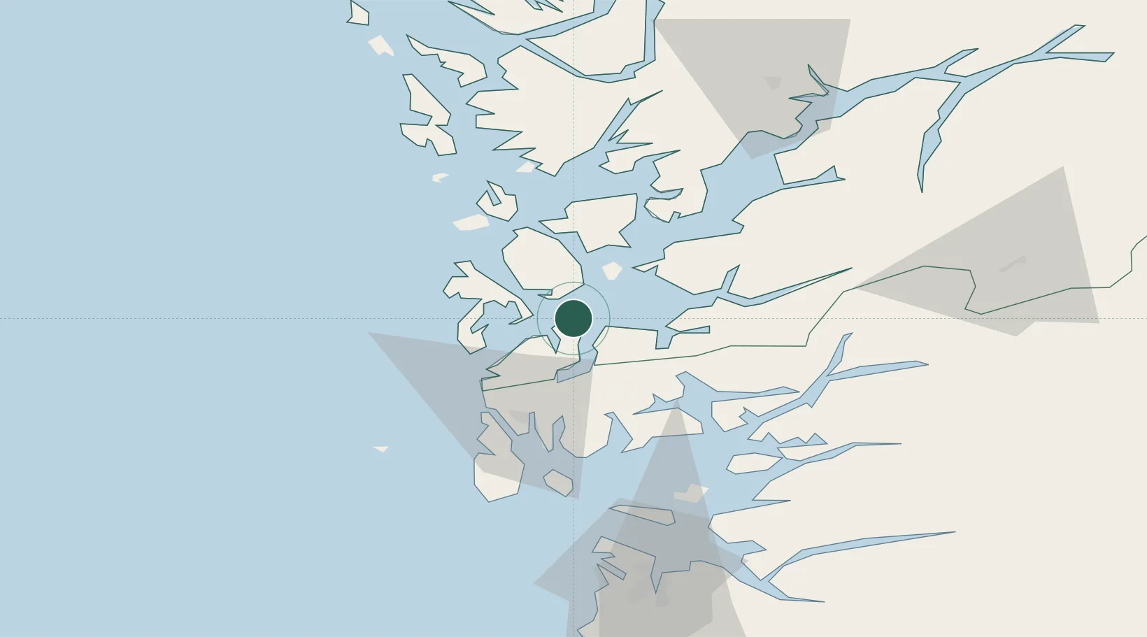
Populated place
Region
Vestland
Time zone
Europe/Oslo
Elevation
15 m
Location
Nearby Logistics Neighbours
Cities
- 1Stord base6 km
- 2Stord6 km
- 3Leirvik8 km
- 4Osnes - Vindafjord14 km
- 5Langevåg15 km
Ports
- 1Mosterhamn4 km
- 2Leirvik7 km
- 3Husnes26 km
- 4Haugesund34 km
- 5Kopervik47 km
Airports
- 1Stord Airport, Sørstokken12 km
- 2Haugesund Airport, Karmøy42 km
- 3Bergen Airport, Flesland67 km
- 4Stavanger Airport, Sola92 km
- 5Sogndal Airport, Haukåsen186 km
Trade Zones
DatabookThe Record of Consolidated Knowledge
Norway beyond logistics?