Seaport · Norway
HaugesundNOHAU
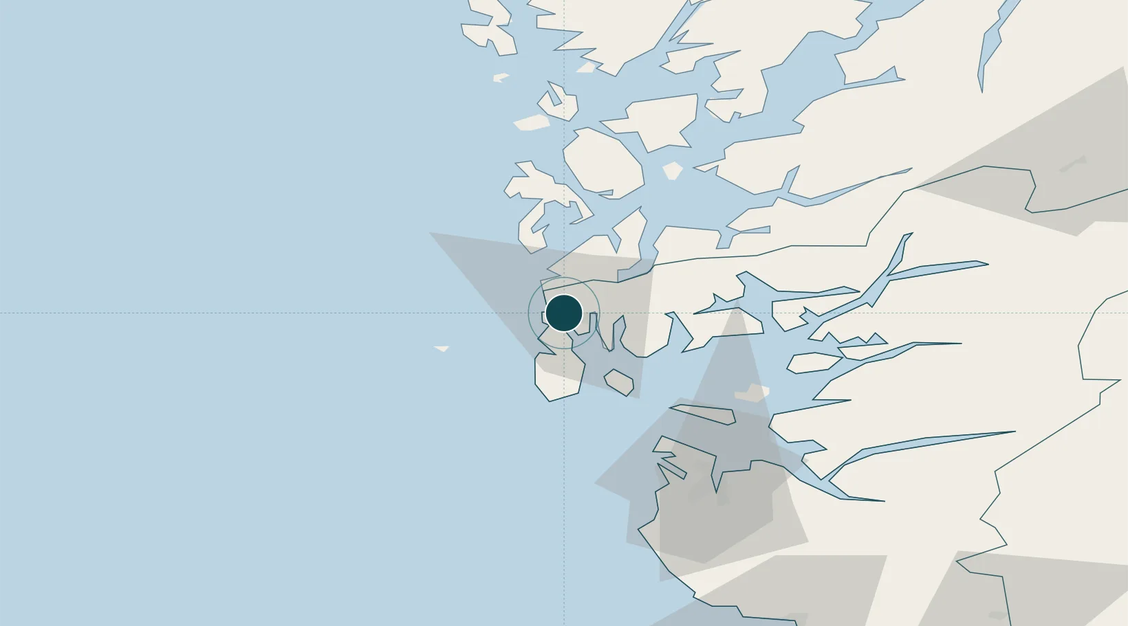
59.4122°, 5.2536°
11.0 m
Channel depth
1
Container terminals
70.3
Port liner connectivity
Channel & Berth Profile
Pilotage, Tugs & Services
Pilotage compulsoryYES
Pilotage advisableYES
Tug assistanceYES
Potable waterYES
MedicalYES
Garbage disposalYES
Facilities & Capabilities
ContainerYES
Ro-RoYES
Liquid bulkYES
Dry bulkYES
Oil terminal—
Break bulkYES
Dry dockNO
RepairsNO
BunkeringYES
Rail link—
Dangerous cargo—
ISPS security—
Harbour Specifications
Harbour size
Small
Harbour type
Coastal (Natural)
Shelter
Excellent
Water body
North Sea; North Atlantic Ocean
Tidal range
1 m
Overhead limit
Yes
Pilotage
Yes
Liner Connectivity
70.3
PLSCI
Port Liner Shipping Connectivity Index for Haugesund, as published by UNCTAD for the latest available quarter. Higher values indicate stronger scheduled liner-shipping integration.
Shown relative to the highest per-port PLSCI in the dataset (1,657.9).
Location
Container Terminals · 1
HAUGESUND CONTAINER TERMINALS HUSOY
HCT HAUGESUND STEVEDORING AS
Nearby Logistics Neighbours
Ports
- 1Kopervik15 km
- 2Akrahamn17 km
- 3Karsto22 km
- 4Skudeneshavn30 km
- 5Mosterhamn33 km
Cities
- 1Storesund1 km
- 2Storøya1 km
- 3Bøneset - Karmøy5 km
- 4Avaldsnes7 km
- 5Vormedal8 km
Airports
- 1Haugesund Airport, Karmøy8 km
- 2Stord Airport, Sørstokken43 km
- 3Stavanger Airport, Sola63 km
- 4Bergen Airport, Flesland98 km
- 5Kristiansand Airport211 km
Trade Zones
DatabookThe Record of Consolidated Knowledge
Norway beyond logistics?