UN/LOCODE hub · Norway
NOSTJ

Stjørdal

63.4667°, 10.8833°
4
Transport functions

Transport Functions

Port
Rail
Road
Airport
UN/LOCODE

Hub Profile

Region
17
GeoNames

Location

Location of NOSTJ
Natural Earth 10m (public domain) · 17 · NOSTJ · 63.47, 10.88GoogleOSMYandex

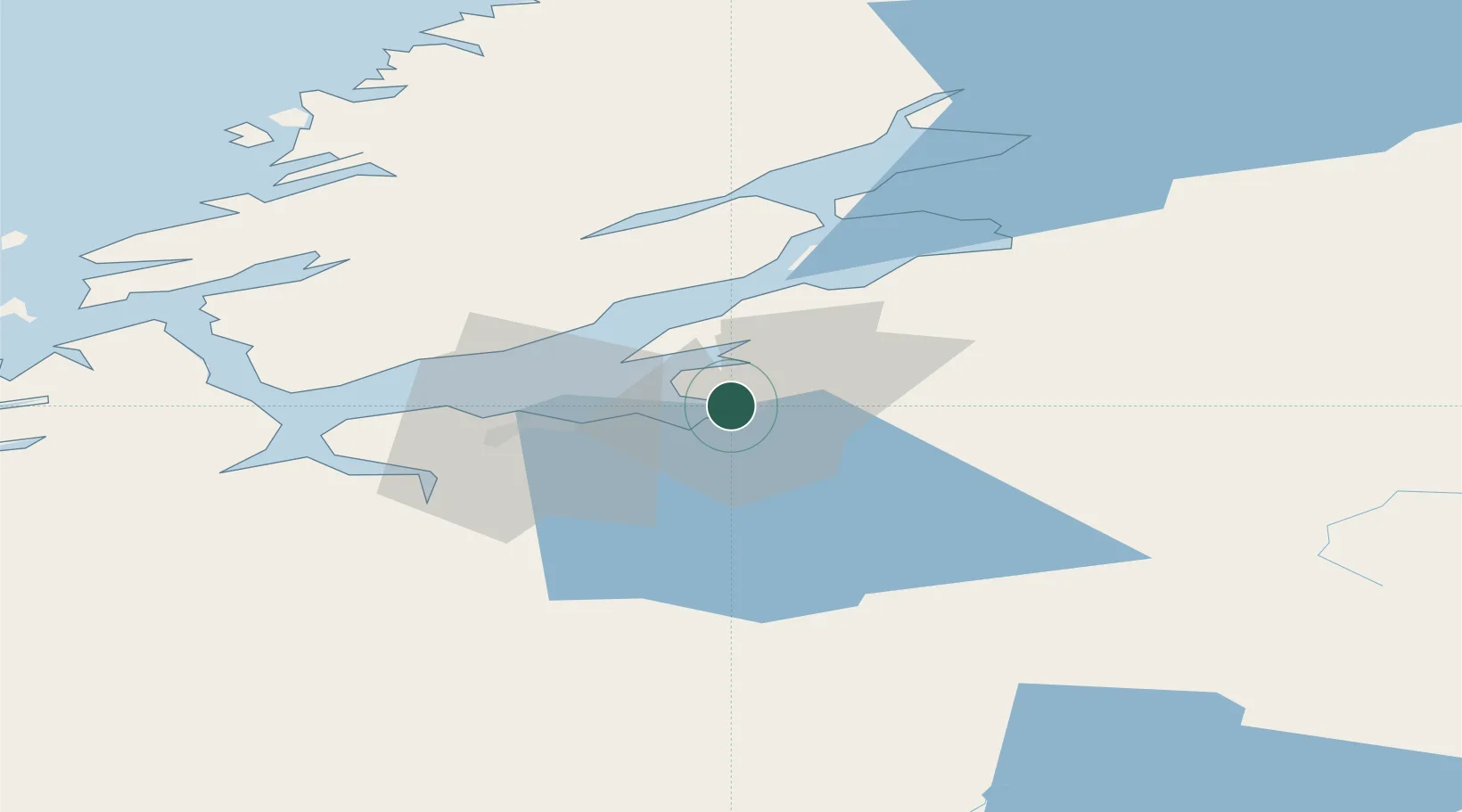
Nearby Logistics Neighbours

Cities
  1. 1Muruvika5 km
  2. 2Langstein9 km
  3. 3Hommelvik9 km
  4. 4Ranheim17 km
  5. 5Kolvereid23 km
Nearest neighbours — logibook spatial index (haversine) over the source coordinates
Ports
  1. 1Muruvik4 km
  2. 2Hommelvik7 km
  3. 3Langstein9 km
  4. 4Trondheim24 km
  5. 5Fiborgtangen31 km
Nearest neighbours — logibook spatial index (haversine) over the source coordinates
Airports
  1. 1Trondheim Airport, Værnes2 km
  2. 2Ørland Airport68 km
  3. 3Røros Airport101 km
  4. 4Namsos Airport117 km
  5. 5Rørvik Airport, Ryum153 km
Nearest neighbours — logibook spatial index (haversine) over the source coordinates
Trade Zones
  1. 1Stockholm Free Zone597 km
  2. 2Gothenburg Boundless Customs Warehouse643 km
  3. 3Jönköping Free Zone657 km
  4. 4Freeport of Copenhagen- Nordhavn867 km
  5. 5MTS Malmö Transport and Spedition883 km
Nearest neighbours — logibook spatial index (haversine) over the source coordinates
DatabookThe Record of Consolidated Knowledge
Norway beyond logistics?
Browse databook

All Sources

LocationsUN/LOCODE
UN/LOCODE — free
Portsthe NGA World Port Index
Public domain (US gov)
AirportsOurAirports
Public domain
Trade Zonesthe World Bank SEZ database
CC BY 4.0
Trade ZonesOpen Zone Map
CC BY
← Norway locations