UN/LOCODE hub · Norway
NODFJ

Dåfjord

69.9833°, 19.4000°
1
Transport functions

Transport Functions

Port
UN/LOCODE

Hub Profile

Region
19
GeoNames

Location

Location of NODFJ
Natural Earth 10m (public domain) · 19 · NODFJ · 69.98, 19.40GoogleOSMYandex

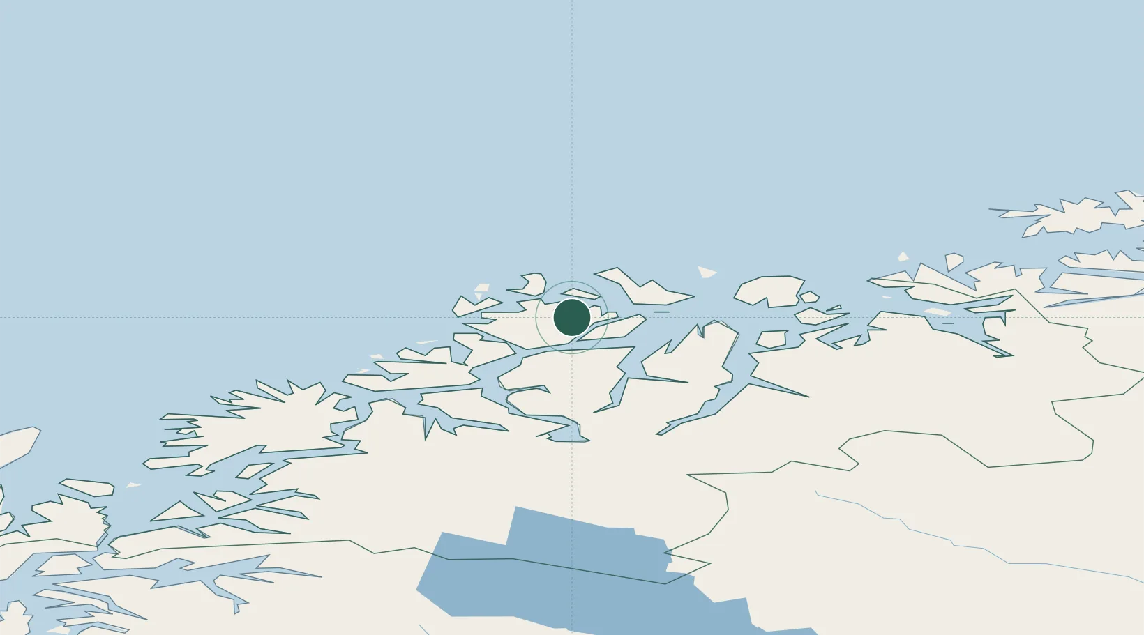
Nearby Logistics Neighbours

Cities
  1. 1Hansnes9 km
  2. 2Stakkvik11 km
  3. 3Vannavalen26 km
  4. 4Kristoffervalen27 km
  5. 5Oldervik28 km
Nearest neighbours — logibook spatial index (haversine) over the source coordinates
Ports
  1. 1Tromso41 km
  2. 2Olavsvern53 km
  3. 3Gibostad86 km
  4. 4Finnsnes100 km
  5. 5Oksfjord115 km
Nearest neighbours — logibook spatial index (haversine) over the source coordinates
Airports
  1. 1Tromsø Airport38 km
  2. 2Sørkjosen Airport64 km
  3. 3Bardufoss Airport108 km
  4. 4Hasvik Airport117 km
  5. 5Andøya Airport, Andenes148 km
Nearest neighbours — logibook spatial index (haversine) over the source coordinates
Trade Zones
  1. 1Oulu Port Free Warehouse Area610 km
  2. 2Turku Free Zone1069 km
  3. 3Free Zone of Lappeenranta1070 km
  4. 4Port of Hamina-Kotka1113 km
  5. 5Freeport of Hanko1141 km
Nearest neighbours — logibook spatial index (haversine) over the source coordinates
DatabookThe Record of Consolidated Knowledge
Norway beyond logistics?
Browse databook

All Sources

LocationsUN/LOCODE
UN/LOCODE — free
Portsthe NGA World Port Index
Public domain (US gov)
AirportsOurAirports
Public domain
Trade Zonesthe World Bank SEZ database
CC BY 4.0
Trade ZonesOpen Zone Map
CC BY
← Norway locations