Transport Functions
Port
Hub Profile
Place type
Provincial seat
Region
Troms
Population
493
Time zone
Europe/Oslo
Elevation
1 m
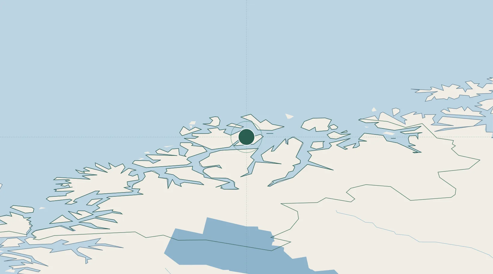
Location
Nearby Logistics Neighbours
Cities
- 1Stakkvik3 km
- 2Dåfjord9 km
- 3Vannavalen21 km
- 4Nordlenangen22 km
- 5Kristoffervalen22 km
Airports
- 1Tromsø Airport41 km
- 2Sørkjosen Airport55 km
- 3Bardufoss Airport110 km
- 4Hasvik Airport111 km
- 5Alta Airport143 km
Trade Zones
- 1Oulu Port Free Warehouse Area605 km
- 2Free Zone of Lappeenranta1065 km
- 3Turku Free Zone1066 km
- 4Port of Hamina-Kotka1108 km
- 5Freeport of Hanko1137 km
DatabookThe Record of Consolidated Knowledge
Norway beyond logistics?