UN/LOCODE hub · Norway
NOKVL

Kristoffervalen

70.1167°, 19.9833°
1
Transport functions

Transport Functions

Port
UN/LOCODE

Hub Profile

Region
19
GeoNames

Location

Location of NOKVL
Natural Earth 10m (public domain) · 19 · NOKVL · 70.12, 19.98GoogleOSMYandex

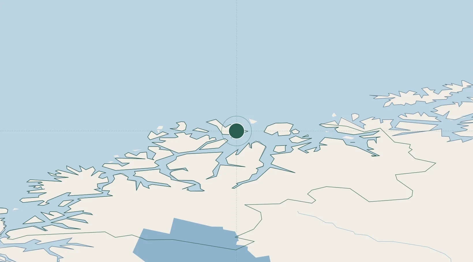
Nearby Logistics Neighbours

Cities
  1. 1Vannavalen1 km
  2. 2Hansnes22 km
  3. 3Stakkvik22 km
  4. 4Nordlenangen23 km
  5. 5Torsvåg24 km
Nearest neighbours — logibook spatial index (haversine) over the source coordinates
Ports
  1. 1Tromso65 km
  2. 2Olavsvern76 km
  3. 3Oksfjord90 km
  4. 4Sorvaer93 km
  5. 5Gibostad112 km
Nearest neighbours — logibook spatial index (haversine) over the source coordinates
Airports
  1. 1Sørkjosen Airport52 km
  2. 2Tromsø Airport63 km
  3. 3Hasvik Airport91 km
  4. 4Alta Airport130 km
  5. 5Bardufoss Airport131 km
Nearest neighbours — logibook spatial index (haversine) over the source coordinates
Trade Zones
  1. 1Murmansk Special Economic Zone524 km
  2. 2Oulu Port Free Warehouse Area614 km
  3. 3Free Zone of Lappeenranta1074 km
  4. 4Turku Free Zone1080 km
  5. 5Port of Hamina-Kotka1119 km
Nearest neighbours — logibook spatial index (haversine) over the source coordinates
DatabookThe Record of Consolidated Knowledge
Norway beyond logistics?
Browse databook

All Sources

LocationsUN/LOCODE
UN/LOCODE — free
Portsthe NGA World Port Index
Public domain (US gov)
AirportsOurAirports
Public domain
Trade Zonesthe World Bank SEZ database
CC BY 4.0
Trade ZonesOpen Zone Map
CC BY
← Norway locations