Transport Functions
Port
Hub Profile
Place type
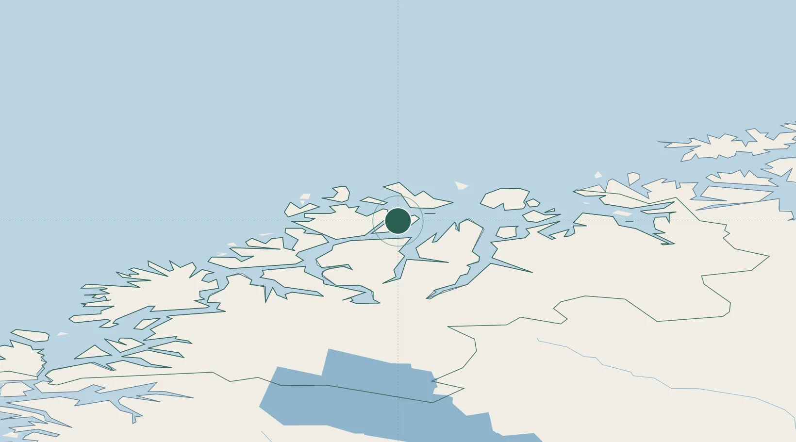
Populated place
Region
Troms
Time zone
Europe/Oslo
Location
Nearby Logistics Neighbours
Cities
- 1Hansnes3 km
- 2Dåfjord11 km
- 3Lenangen Søndre19 km
- 4Lenangsøyra19 km
- 5Nordlenangen19 km
Airports
- 1Tromsø Airport41 km
- 2Sørkjosen Airport53 km
- 3Bardufoss Airport109 km
- 4Hasvik Airport111 km
- 5Alta Airport141 km
Trade Zones
- 1Oulu Port Free Warehouse Area602 km
- 2Free Zone of Lappeenranta1062 km
- 3Turku Free Zone1063 km
- 4Port of Hamina-Kotka1106 km
- 5Freeport of Hanko1135 km
DatabookThe Record of Consolidated Knowledge
Norway beyond logistics?