UN/LOCODE hub · Norway
NONFO

Nordfosen

63.9500°, 10.1833°
1
Transport functions

Transport Functions

Port
UN/LOCODE

Hub Profile

Region
16
GeoNames

Location

Location of NONFO
Natural Earth 10m (public domain) · 16 · NONFO · 63.95, 10.18GoogleOSMYandex

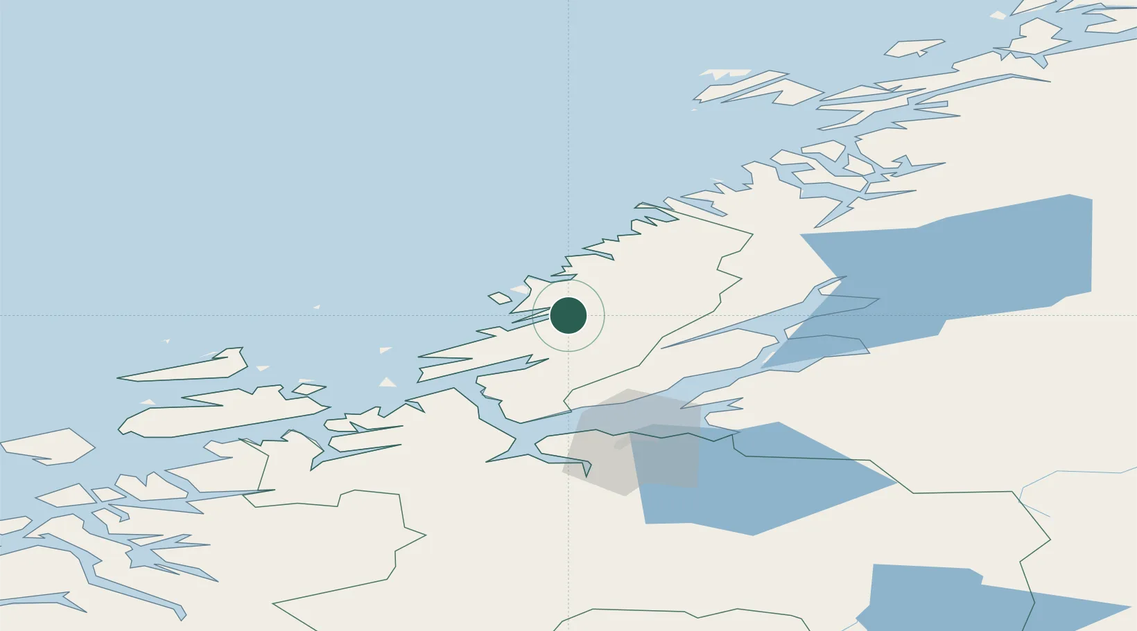
Nearby Logistics Neighbours

Cities
  1. 1Herfjord9 km
  2. 2Stokksund11 km
  3. 3Lysøysund17 km
  4. 4Vallersund24 km
  5. 5Brandsfjord27 km
Nearest neighbours — logibook spatial index (haversine) over the source coordinates
Ports
  1. 1Malm53 km
  2. 2Fiborgtangen54 km
  3. 3Langstein57 km
  4. 4Trondheim57 km
  5. 5Levanger59 km
Nearest neighbours — logibook spatial index (haversine) over the source coordinates
Airports
  1. 1Ørland Airport40 km
  2. 2Trondheim Airport, Værnes66 km
  3. 3Namsos Airport89 km
  4. 4Rørvik Airport, Ryum109 km
  5. 5Kristiansund Airport, Kvernberget150 km
Nearest neighbours — logibook spatial index (haversine) over the source coordinates
Trade Zones
  1. 1Stockholm Free Zone660 km
  2. 2Gothenburg Boundless Customs Warehouse700 km
  3. 3Jönköping Free Zone719 km
  4. 4Freeport of Copenhagen- Nordhavn926 km
  5. 5MTS Malmö Transport and Spedition942 km
Nearest neighbours — logibook spatial index (haversine) over the source coordinates
DatabookThe Record of Consolidated Knowledge
Norway beyond logistics?
Browse databook

All Sources

LocationsUN/LOCODE
UN/LOCODE — free
Portsthe NGA World Port Index
Public domain (US gov)
AirportsOurAirports
Public domain
Trade Zonesthe World Bank SEZ database
CC BY 4.0
Trade ZonesOpen Zone Map
CC BY
← Norway locations