Transport Functions
Port
Road
Hub Profile
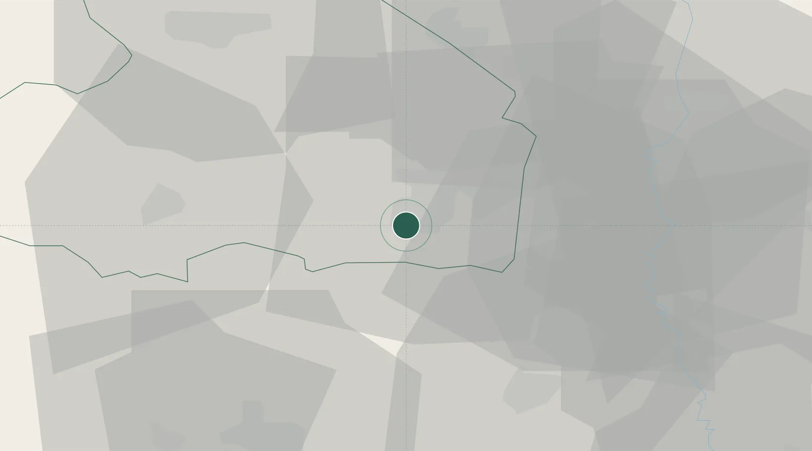
Place type
Populated place
Region
Drenthe
Population
465
Time zone
Europe/Amsterdam
Elevation
15 m
Location
Nearby Logistics Neighbours
Cities
- 1Nieuw-Amsterdam2 km
- 2Veenoord2 km
- 3Stieltjeskanaal3 km
- 4Erica5 km
- 5Holsloot5 km
Airports
- 1Twente Airport47 km
- 2Groningen Airport Eelde51 km
- 3Emden Airport81 km
- 4Münster Osnabrück Airport84 km
- 5Leeuwarden Air Base95 km
Trade Zones
DatabookThe Record of Consolidated Knowledge
Netherlands beyond logistics?