Transport Functions
Port
Road
Hub Profile
Place type
Populated place
Region
Drenthe
Time zone
Europe/Amsterdam
Elevation
18 m
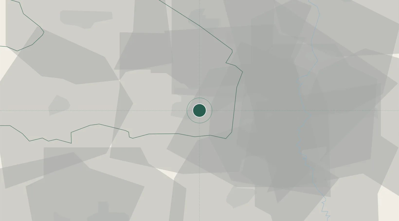
Location
Nearby Logistics Neighbours
Cities
- 1Nieuw-Amsterdam5 km
- 2Klazienaveen5 km
- 3Zandpol5 km
- 4Veenoord6 km
- 5Stieltjeskanaal8 km
Airports
- 1Twente Airport49 km
- 2Groningen Airport Eelde51 km
- 3Emden Airport78 km
- 4Münster Osnabrück Airport83 km
- 5Diepholz Air Base96 km
Trade Zones
DatabookThe Record of Consolidated Knowledge
Netherlands beyond logistics?