UN/LOCODE hub · Netherlands
NLNAM
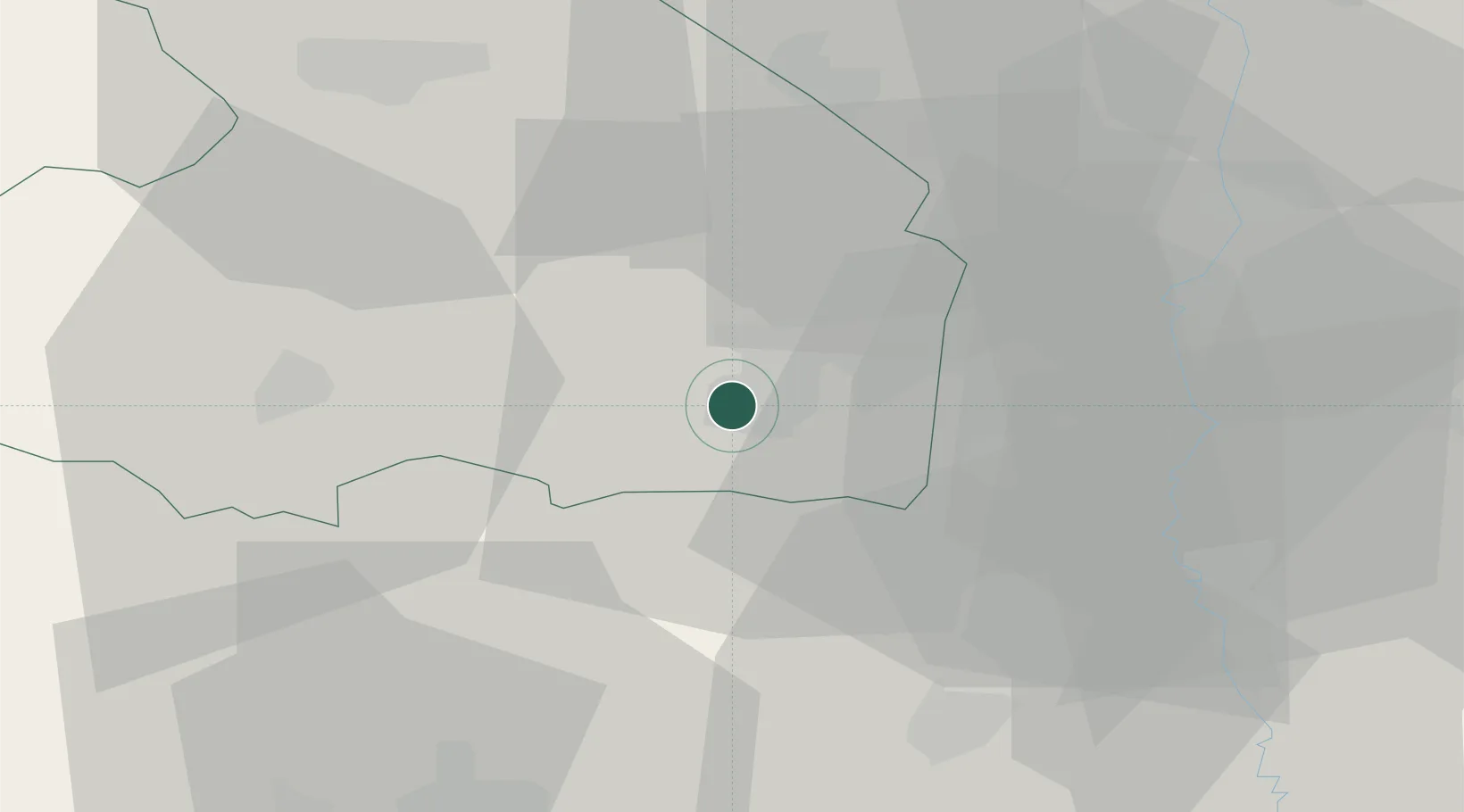
Nieuw-Amsterdam
52.7167°, 6.8667°
4,730
Population
4
Transport functions
Transport Functions
Port
Rail
Road
Multimodal
Hub Profile
Place type
Populated place
Region
Drenthe
Population
4,730
Time zone
Europe/Amsterdam
Elevation
16 m
Location
Nearby Logistics Neighbours
Cities
- 1Veenoord1 km
- 2Zandpol2 km
- 3Stieltjeskanaal4 km
- 4Erica5 km
- 5Holsloot5 km
Airports
- 1Groningen Airport Eelde49 km
- 2Twente Airport49 km
- 3Emden Airport79 km
- 4Münster Osnabrück Airport86 km
- 5Leeuwarden Air Base93 km
Trade Zones
DatabookThe Record of Consolidated Knowledge
Netherlands beyond logistics?