Transport Functions
Multimodal
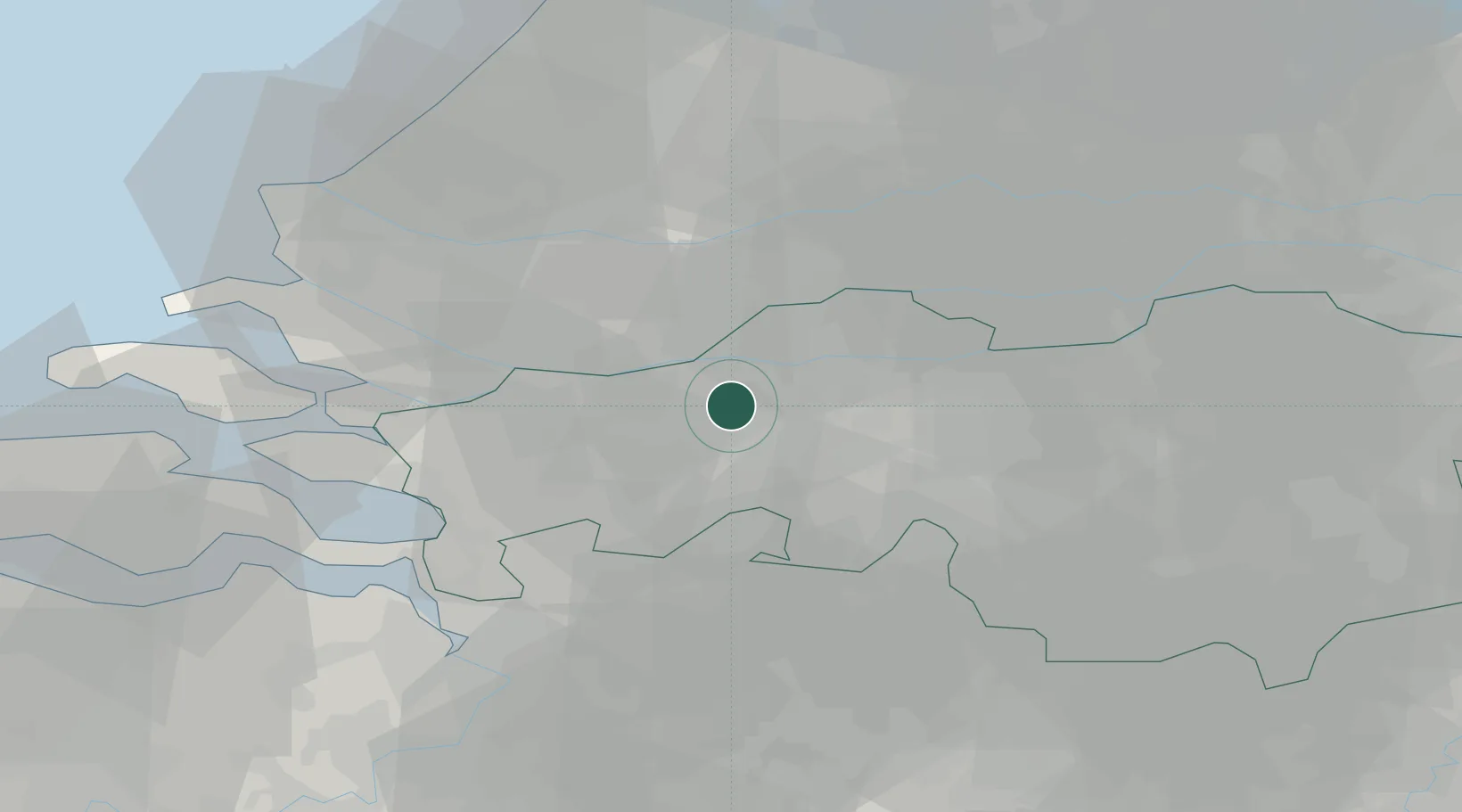
Hub Profile
Place type
Populated place
Region
North Brabant
Population
1,905
Time zone
Europe/Amsterdam
Elevation
4 m
Location
Nearby Logistics Neighbours
Cities
- 1Terheijden2 km
- 2Langeweg5 km
- 3Zevenbergschen Hoek5 km
- 4Lage Zwaluwe7 km
- 5Oosterhout8 km
Ports
- 1Dordrecht19 km
- 2Rotterdam33 km
- 3Schiedam36 km
- 4Vlaardingen38 km
- 5Maassluis45 km
Airports
Trade Zones
- 1Freeport of Duisburg130 km
- 2Rheinische Revier SWZ141 km
- 3ZFU Tourcoing151 km
- 4ZFU Hem et Roubaix153 km
- 5ZFU Condé sur lEscaut155 km
DatabookThe Record of Consolidated Knowledge
Netherlands beyond logistics?