Transport Functions
Multimodal
Hub Profile
Place type
Populated place
Region
Friesland
Population
5,120
Time zone
Europe/Amsterdam
Elevation
3 m
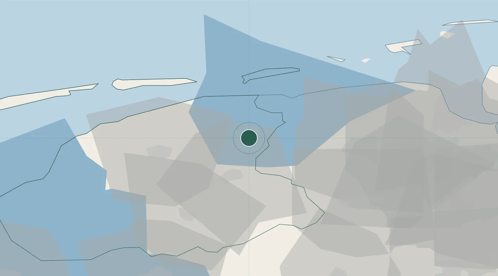
Location
Nearby Logistics Neighbours
Cities
- 1Kollum4 km
- 2Augustinusga4 km
- 3Stroobos5 km
- 4Kootstertille5 km
- 5Twijzelerheide7 km
Airports
- 1Leeuwarden Air Base26 km
- 2Groningen Airport Eelde32 km
- 3Borkum Airport53 km
- 4Emden Airport73 km
- 5Juist Airport77 km
Trade Zones
DatabookThe Record of Consolidated Knowledge
Netherlands beyond logistics?