Transport Functions
Rail
Road
Hub Profile
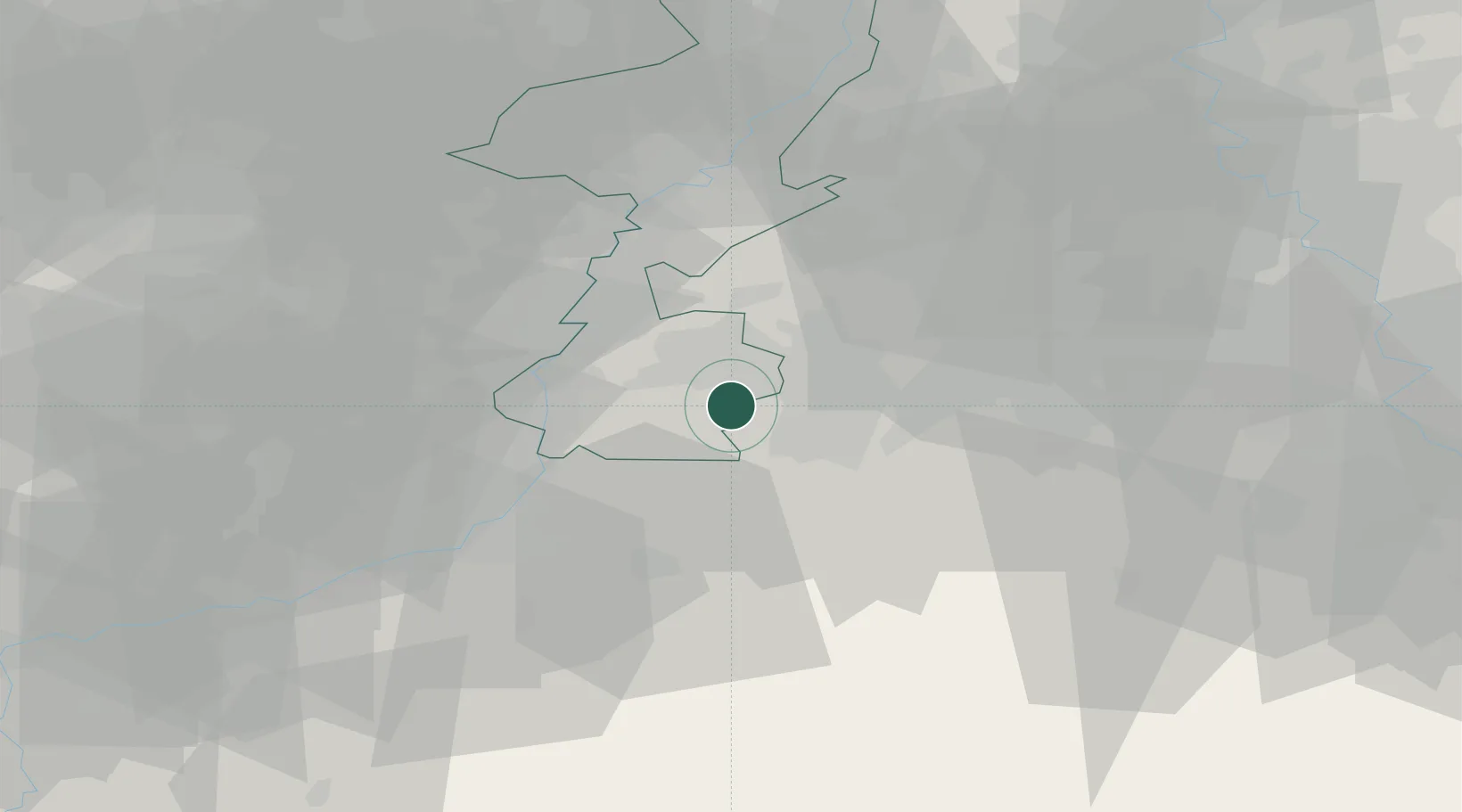
Place type
Populated place
Region
Limburg
Population
2,405
Time zone
Europe/Amsterdam
Elevation
138 m
Location
Nearby Logistics Neighbours
Cities
- 1Mechelen7 km
- 2Eygelshoven9 km
- 3Klimmen9 km
- 4Aachen10 km
- 5Amstenrade12 km
Airports
- 1Geilenkirchen Air Base15 km
- 2Maastricht Aachen Airport17 km
- 3Liège Airport44 km
- 4Nörvenich Air Base47 km
- 5Kleine Brogel Air Base52 km
Trade Zones
- 1Rheinische Revier SWZ29 km
- 2Freeport of Duisburg80 km
- 3Luxembourg Free Port134 km
- 4ZFU Ronde Couture151 km
- 5ZFU Maubeuge, Louvroil158 km
DatabookThe Record of Consolidated Knowledge
Netherlands beyond logistics?