Transport Functions
Port
Rail
Road
Airport
Multimodal
Hub Profile
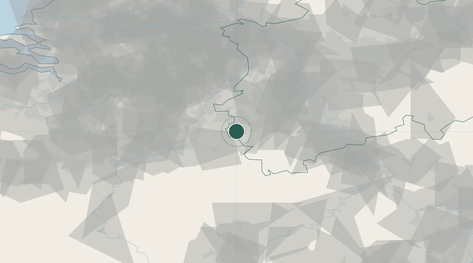
Place type
District seat
Region
North Rhine-Westphalia
Population
265,208
Time zone
Europe/Berlin
Elevation
266 m
Location
Nearby Logistics Neighbours
Cities
- 1Simpelveld10 km
- 2Mechelen12 km
- 3Alsdorf14 km
- 4Eygelshoven15 km
- 5Eschweiler15 km
Airports
- 1Geilenkirchen Air Base22 km
- 2Maastricht Aachen Airport27 km
- 3Nörvenich Air Base41 km
- 4Liège Airport47 km
- 5Mönchengladbach Airport59 km
Trade Zones
- 1Rheinische Revier SWZ26 km
- 2Freeport of Duisburg83 km
- 3Luxembourg Free Port126 km
- 4ZFU Ronde Couture149 km
- 5ZFU Woippy-Metz180 km
DatabookThe Record of Consolidated Knowledge
Germany beyond logistics?