Transport Functions
Multimodal
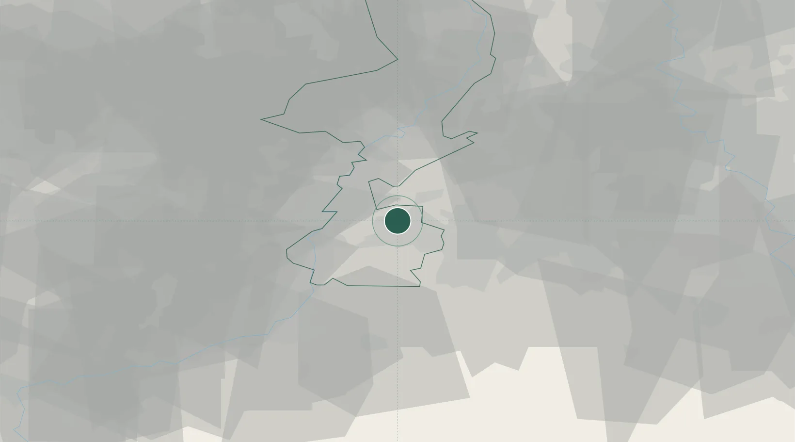
Hub Profile
Place type
Populated place
Region
Limburg
Population
1,740
Time zone
Europe/Amsterdam
Elevation
88 m
Location
Nearby Logistics Neighbours
Cities
- 1Klimmen7 km
- 2Eygelshoven9 km
- 3Simpelveld12 km
- 4Übach-Palenberg12 km
- 5Urmond14 km
Airports
- 1Geilenkirchen Air Base8 km
- 2Maastricht Aachen Airport12 km
- 3Kleine Brogel Air Base42 km
- 4Kempen Airport Budel43 km
- 5Liège Airport48 km
Trade Zones
- 1Rheinische Revier SWZ32 km
- 2Freeport of Duisburg73 km
- 3Luxembourg Free Port145 km
- 4ZFU Ronde Couture158 km
- 5ZFU Maubeuge, Louvroil160 km
DatabookThe Record of Consolidated Knowledge
Netherlands beyond logistics?