Transport Functions
Road
Multimodal
Hub Profile
Place type
Populated place
Region
Limburg
Time zone
Europe/Amsterdam
Elevation
101 m
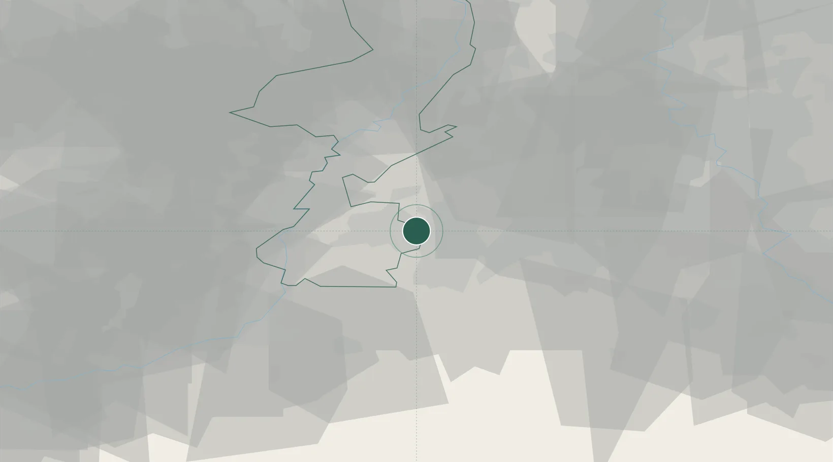
Location
Nearby Logistics Neighbours
Cities
- 1Übach-Palenberg4 km
- 2Alsdorf8 km
- 3Simpelveld9 km
- 4Amstenrade9 km
- 5Baesweiler9 km
Airports
- 1Geilenkirchen Air Base7 km
- 2Maastricht Aachen Airport20 km
- 3Nörvenich Air Base43 km
- 4Mönchengladbach Airport49 km
- 5Kleine Brogel Air Base50 km
Trade Zones
- 1Rheinische Revier SWZ23 km
- 2Freeport of Duisburg71 km
- 3Luxembourg Free Port141 km
- 4ZFU Ronde Couture159 km
- 5ZFU Woippy-Metz195 km
DatabookThe Record of Consolidated Knowledge
Netherlands beyond logistics?