Transport Functions
Multimodal
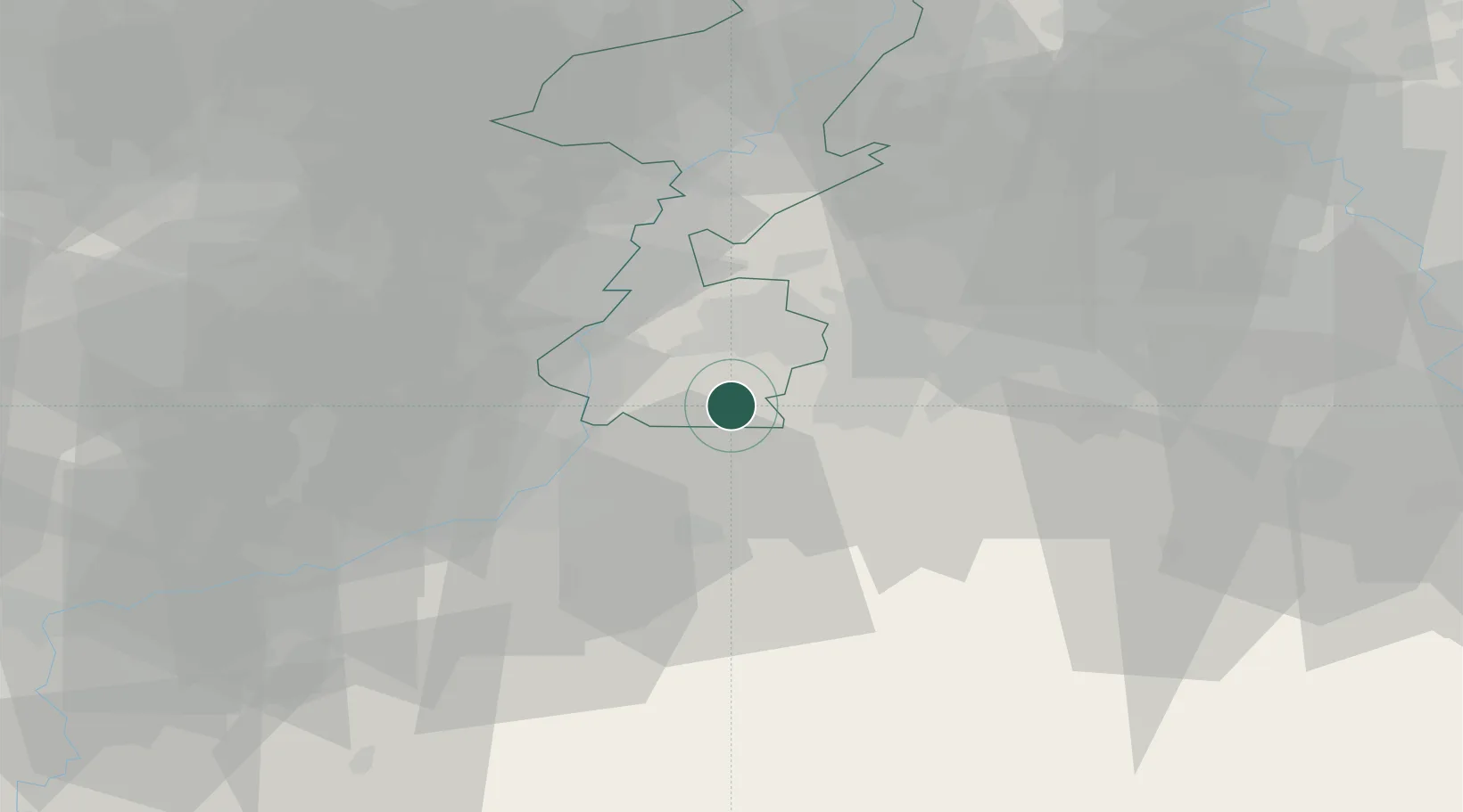
Hub Profile
Place type
Populated place
Region
Limburg
Population
1,375
Time zone
Europe/Amsterdam
Elevation
110 m
Location
Nearby Logistics Neighbours
Cities
- 1Simpelveld7 km
- 2Margraten8 km
- 3Sint-Pieters-Voeren9 km
- 4Klimmen11 km
- 5Aachen12 km
Airports
- 1Maastricht Aachen Airport18 km
- 2Geilenkirchen Air Base22 km
- 3Liège Airport37 km
- 4Nörvenich Air Base52 km
- 5Kleine Brogel Air Base53 km
Trade Zones
- 1Rheinische Revier SWZ35 km
- 2Freeport of Duisburg87 km
- 3Luxembourg Free Port129 km
- 4ZFU Ronde Couture143 km
- 5ZFU Maubeuge, Louvroil152 km
DatabookThe Record of Consolidated Knowledge
Netherlands beyond logistics?