Transport Functions
Multimodal
Hub Profile
Place type
Populated place
Region
Groningen
Time zone
Europe/Amsterdam
Elevation
8 m
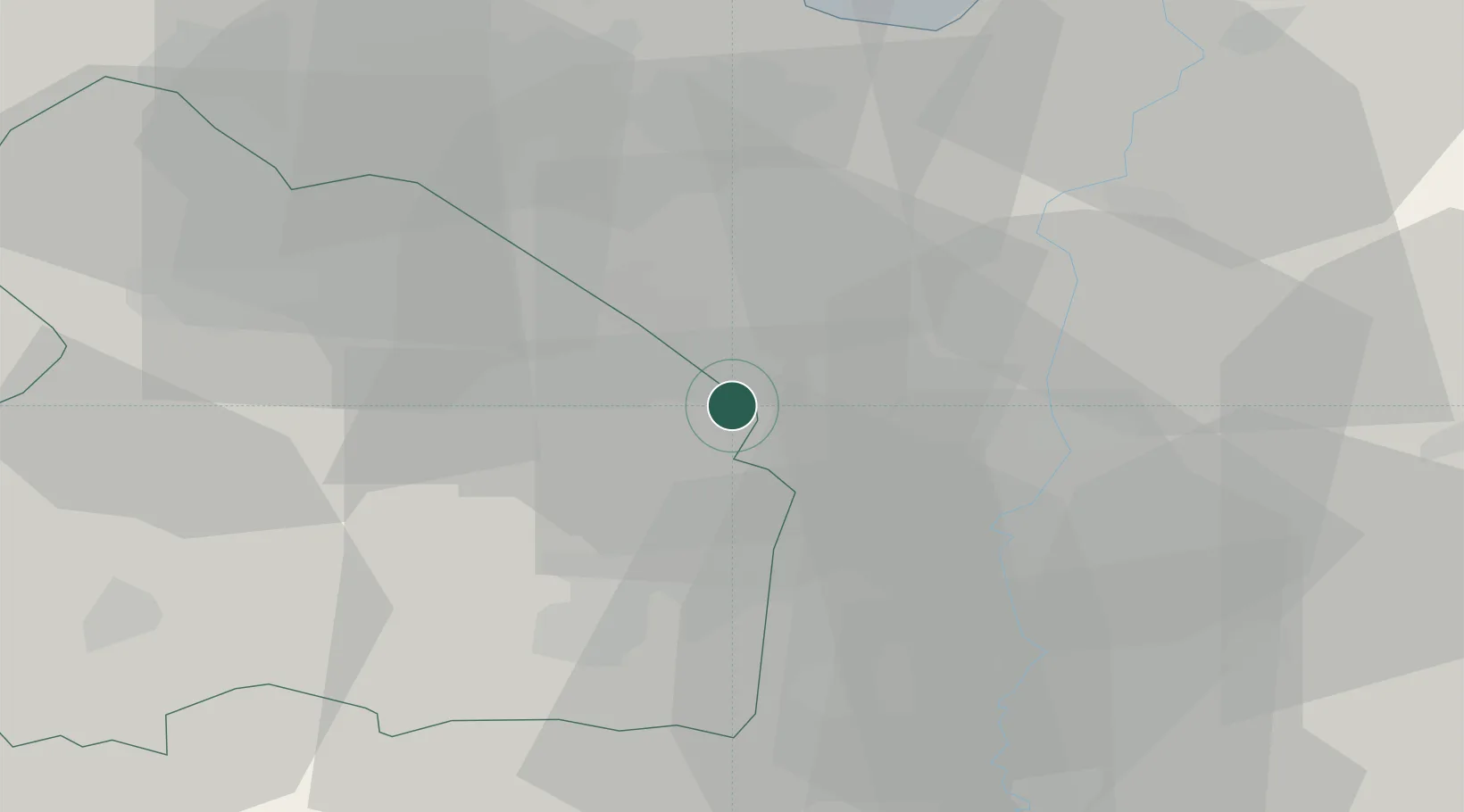
Location
Nearby Logistics Neighbours
Cities
- 1Vlagtwedde15 km
- 2Borger16 km
- 3Bourtange17 km
- 4Walchum18 km
- 5Dersum19 km
Airports
- 1Groningen Airport Eelde37 km
- 2Emden Airport55 km
- 3Twente Airport72 km
- 4Borkum Airport78 km
- 5Norden-Norddeich Airport81 km
Trade Zones
DatabookThe Record of Consolidated Knowledge
Netherlands beyond logistics?