Transport Functions
Road
Multimodal
Hub Profile
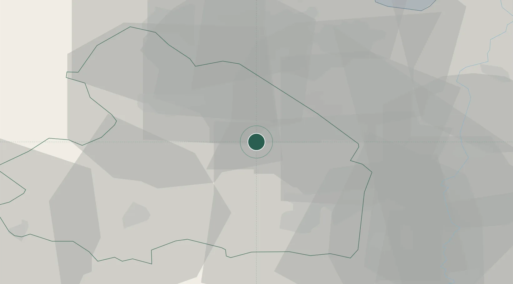
Place type
Populated place
Region
Drenthe
Population
4,570
Time zone
Europe/Amsterdam
Elevation
15 m
Location
Nearby Logistics Neighbours
Cities
- 1Westerbork14 km
- 2Musselkanaal16 km
- 3Kloosterveen20 km
- 4Bovensmilde21 km
- 5Zuidlaren22 km
Airports
- 1Groningen Airport Eelde26 km
- 2Emden Airport61 km
- 3Twente Airport72 km
- 4Borkum Airport76 km
- 5Leeuwarden Air Base77 km
Trade Zones
DatabookThe Record of Consolidated Knowledge
Netherlands beyond logistics?