Transport Functions
Port
Road
Hub Profile
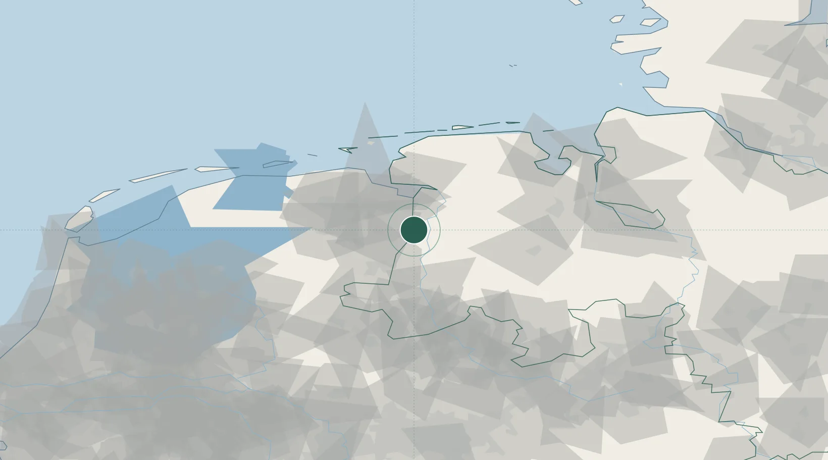
Place type
Populated place
Region
Groningen
Population
425
Time zone
Europe/Amsterdam
Elevation
5 m
Location
Nearby Logistics Neighbours
Cities
- 1Vlagtwedde6 km
- 2Dersum8 km
- 3Herbrum8 km
- 4Dörpen11 km
- 5Walchum11 km
Airports
- 1Emden Airport42 km
- 2Groningen Airport Eelde43 km
- 3Wittmundhafen Air Base67 km
- 4Norden-Norddeich Airport69 km
- 5Borkum Airport72 km
Trade Zones
DatabookThe Record of Consolidated Knowledge
Netherlands beyond logistics?