UN/LOCODE hub · Netherlands
NLMNH
Mijnsheerenland
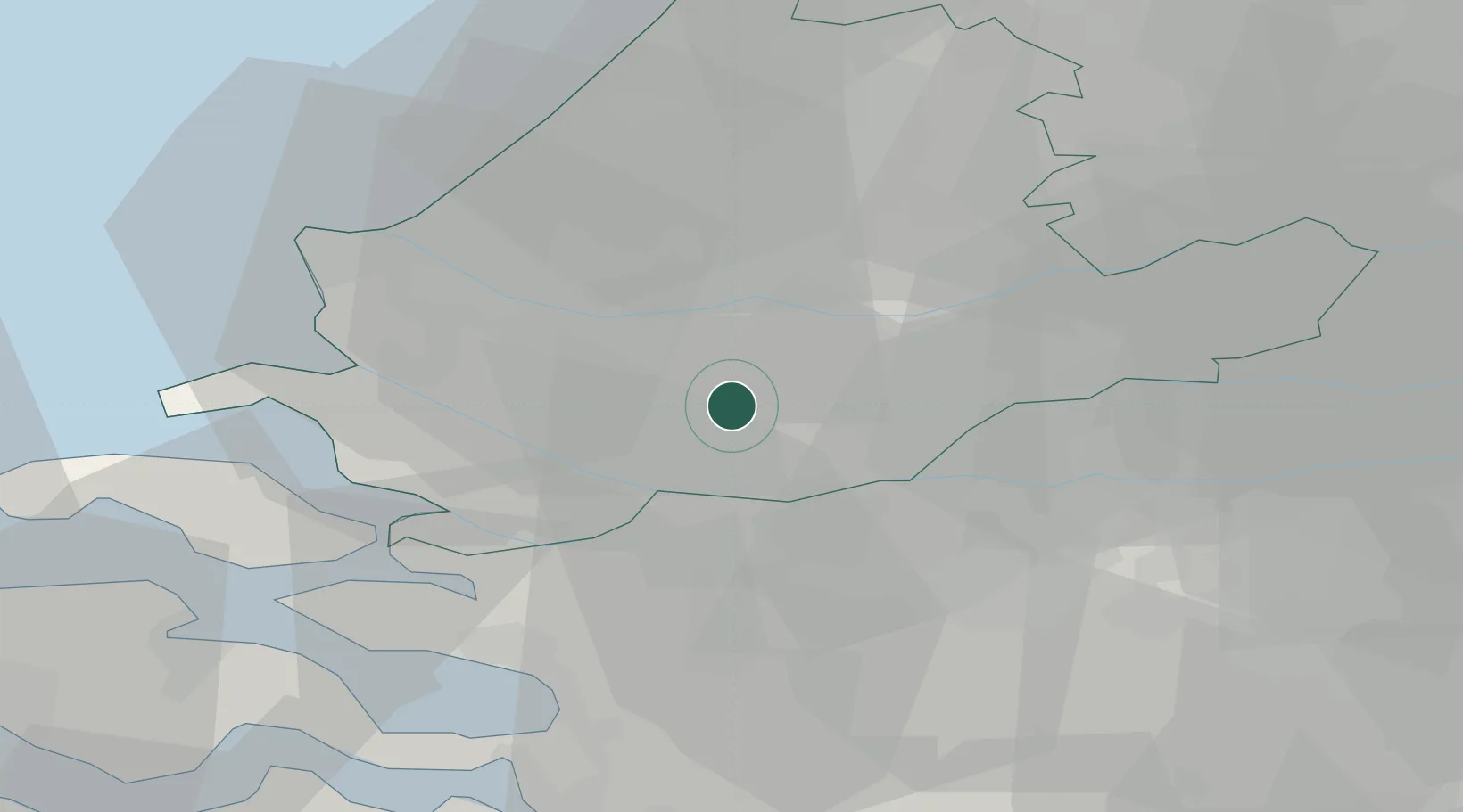
51.8000°, 4.4833°
1,775
Population
1
Transport functions
Transport Functions
Port
Hub Profile
Place type
Populated place
Region
South Holland
Population
1,775
Time zone
Europe/Amsterdam
Elevation
0 m
Location
Nearby Logistics Neighbours
Cities
- 1Oudesluis4 km
- 2Puttershoek6 km
- 3Albrandswaard7 km
- 4Poortugaal9 km
- 5's-Gravendeel9 km
Ports
- 1Rotterdam11 km
- 2Dordrecht12 km
- 3Schiedam13 km
- 4Vlaardingen14 km
- 5Maassluis21 km
Airports
Trade Zones
- 1Freeport of Duisburg151 km
- 2ZFU Tourcoing151 km
- 3ZFU Hem et Roubaix154 km
- 4ZFU Condé sur lEscaut161 km
- 5Rheinische Revier SWZ165 km
DatabookThe Record of Consolidated Knowledge
Netherlands beyond logistics?