Transport Functions
Port
Rail
Road
Multimodal
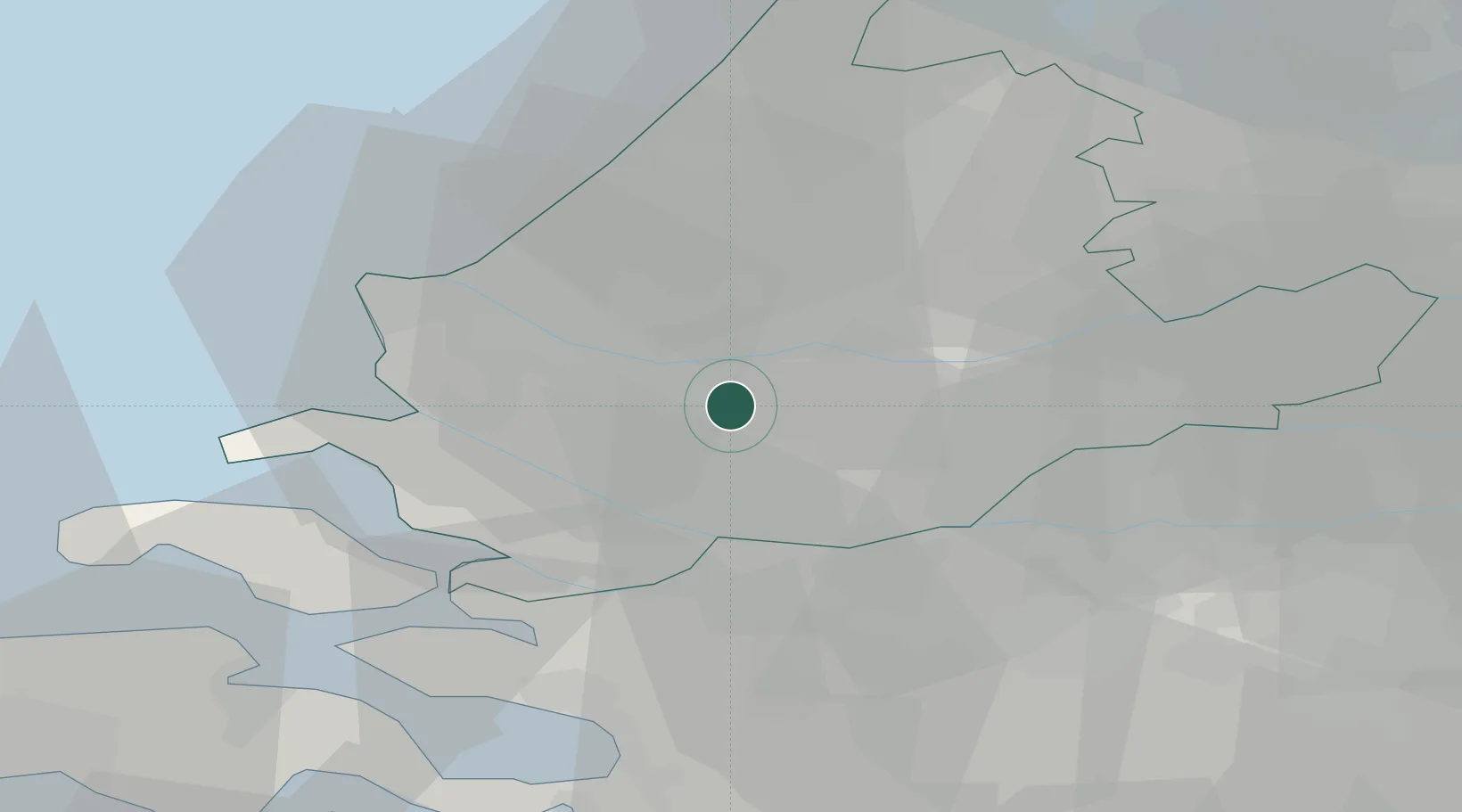
Hub Profile
Region
ZH
Location
Nearby Logistics Neighbours
Cities
- 1Poortugaal2 km
- 2Pernis4 km
- 3Hekelingen7 km
- 4Vondelingenplaat7 km
- 5Mijnsheerenland7 km
Ports
- 1Schiedam6 km
- 2Rotterdam7 km
- 3Vlaardingen7 km
- 4Maassluis14 km
- 5Dordrecht17 km
Airports
Trade Zones
- 1ZFU Tourcoing153 km
- 2ZFU Hem et Roubaix156 km
- 3Freeport of Duisburg156 km
- 4ZFU Condé sur lEscaut165 km
- 5ZFU de Lille et de Loos167 km
DatabookThe Record of Consolidated Knowledge
Netherlands beyond logistics?