Transport Functions
Port
Rail
Road
Multimodal
Hub Profile
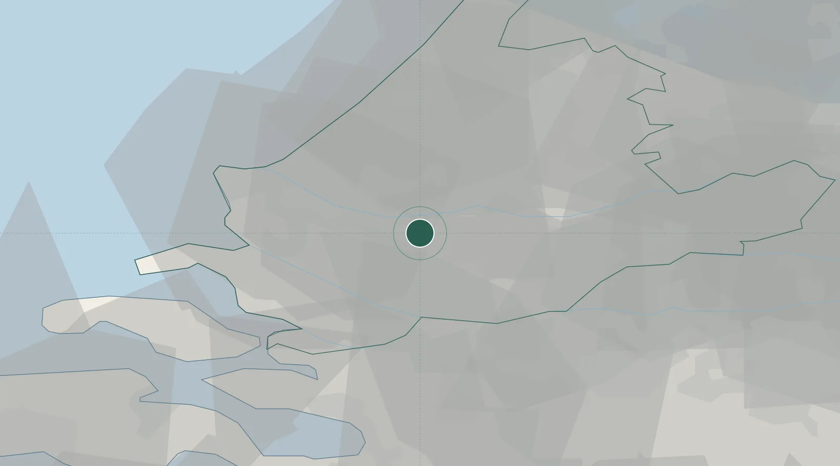
Place type
Populated place
Region
South Holland
Population
55
Time zone
Europe/Amsterdam
Elevation
2 m
Location
Nearby Logistics Neighbours
Cities
- 1Pernis2 km
- 2Albrandswaard2 km
- 3Vondelingenplaat6 km
- 4Hekelingen7 km
- 5Rotterdam8 km
Ports
- 1Schiedam4 km
- 2Vlaardingen5 km
- 3Rotterdam7 km
- 4Maassluis12 km
- 5Dordrecht18 km
Airports
Trade Zones
- 1ZFU Tourcoing154 km
- 2ZFU Hem et Roubaix157 km
- 3Freeport of Duisburg158 km
- 4ZFU Condé sur lEscaut166 km
- 5ZFU de Lille et de Loos168 km
DatabookThe Record of Consolidated Knowledge
Netherlands beyond logistics?