Transport Functions
Road
Multimodal
Hub Profile
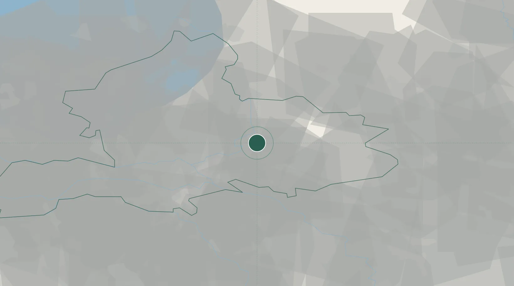
Place type
Populated place
Region
Gelderland
Population
385
Time zone
Europe/Amsterdam
Elevation
10 m
Location
Nearby Logistics Neighbours
Cities
- 1Steenderen3 km
- 2Doesburg7 km
- 3Drempt7 km
- 4Leuvenheim7 km
- 5Handel10 km
Airports
- 1Deelen Air Base24 km
- 2Weeze (Niederrhein) Airport50 km
- 3Twente Airport52 km
- 4Volkel Air Base56 km
- 5Lelystad Airport66 km
Trade Zones
DatabookThe Record of Consolidated Knowledge
Netherlands beyond logistics?