Transport Functions
Port
Road
Hub Profile
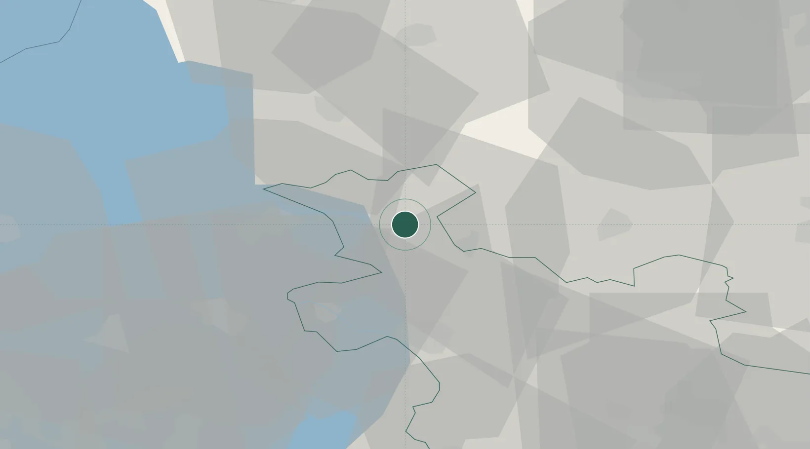
Place type
Populated place
Region
Overijssel
Population
2,130
Time zone
Europe/Amsterdam
Elevation
0 m
Location
Nearby Logistics Neighbours
Ports
- 1Harlingen66 km
- 2Delfzijl88 km
- 3Amsterdam89 km
- 4Zaandam90 km
- 5Den Helder90 km
Airports
- 1Lelystad Airport49 km
- 2Groningen Airport Eelde55 km
- 3Leeuwarden Air Base59 km
- 4Twente Airport75 km
- 5Deelen Air Base76 km
Trade Zones
DatabookThe Record of Consolidated Knowledge
Netherlands beyond logistics?