Transport Functions
Port
Road
Hub Profile
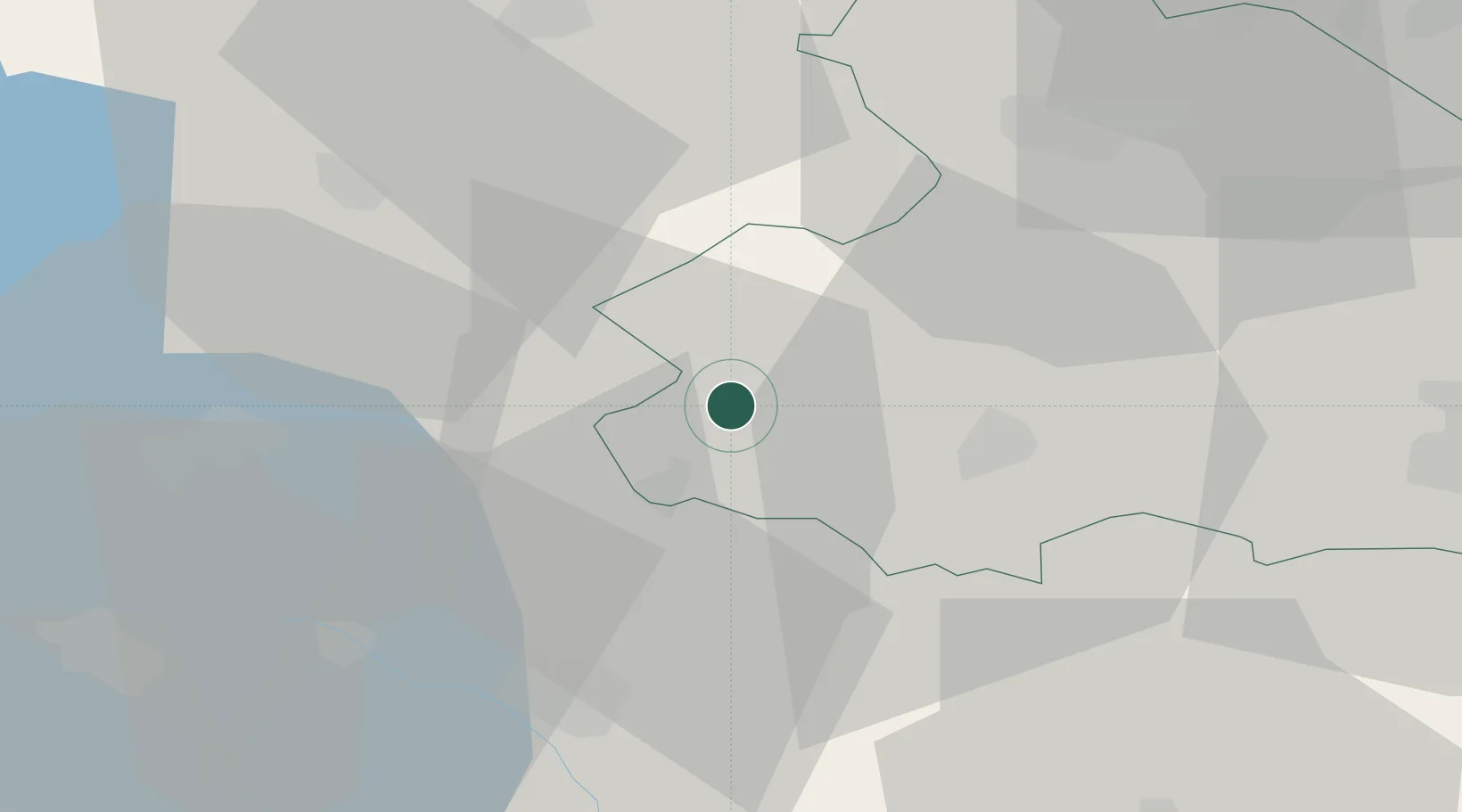
Place type
Populated place
Region
Drenthe
Population
3,060
Time zone
Europe/Amsterdam
Elevation
6 m
Location
Nearby Logistics Neighbours
Cities
- 1Uffelte3 km
- 2Veendijk4 km
- 3Nijeveen7 km
- 4Meppel10 km
- 5Dieverbrug11 km
Airports
- 1Groningen Airport Eelde45 km
- 2Lelystad Airport61 km
- 3Leeuwarden Air Base61 km
- 4Twente Airport70 km
- 5Deelen Air Base83 km
Trade Zones
DatabookThe Record of Consolidated Knowledge
Netherlands beyond logistics?