Transport Functions
Port
Rail
Road
Hub Profile
Place type
Urban district
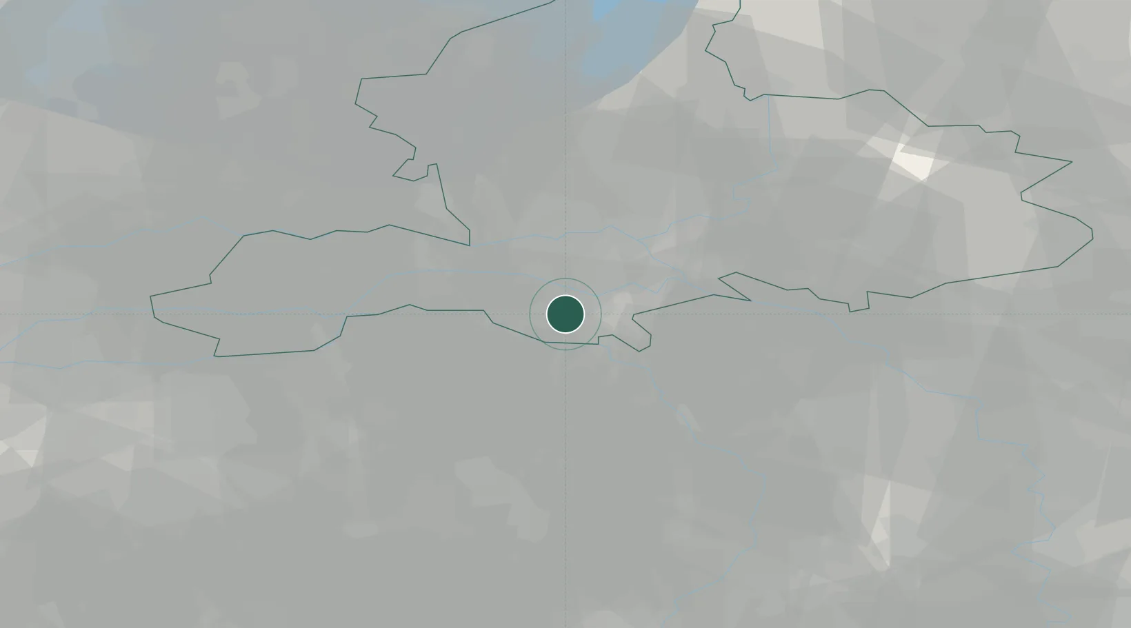
Region
Gelderland
Time zone
Europe/Amsterdam
Elevation
13 m
Location
Nearby Logistics Neighbours
Cities
- 1Weurt4 km
- 2Nijmegen5 km
- 3Beuningen6 km
- 4Heumen7 km
- 5Nederasselt7 km
Airports
- 1Volkel Air Base19 km
- 2Deelen Air Base28 km
- 3Weeze (Niederrhein) Airport34 km
- 4Eindhoven Airport50 km
- 5Kempen Airport Budel64 km
Trade Zones
- 1Freeport of Duisburg68 km
- 2Rheinische Revier SWZ109 km
- 3Freeport of Emden193 km
- 4ZFU Condé sur lEscaut216 km
- 5ZFU Maubeuge, Louvroil217 km
DatabookThe Record of Consolidated Knowledge
Netherlands beyond logistics?