Transport Functions
Port
Road
Hub Profile
Place type
Populated place
Region
Drenthe
Time zone
Europe/Amsterdam
Elevation
12 m
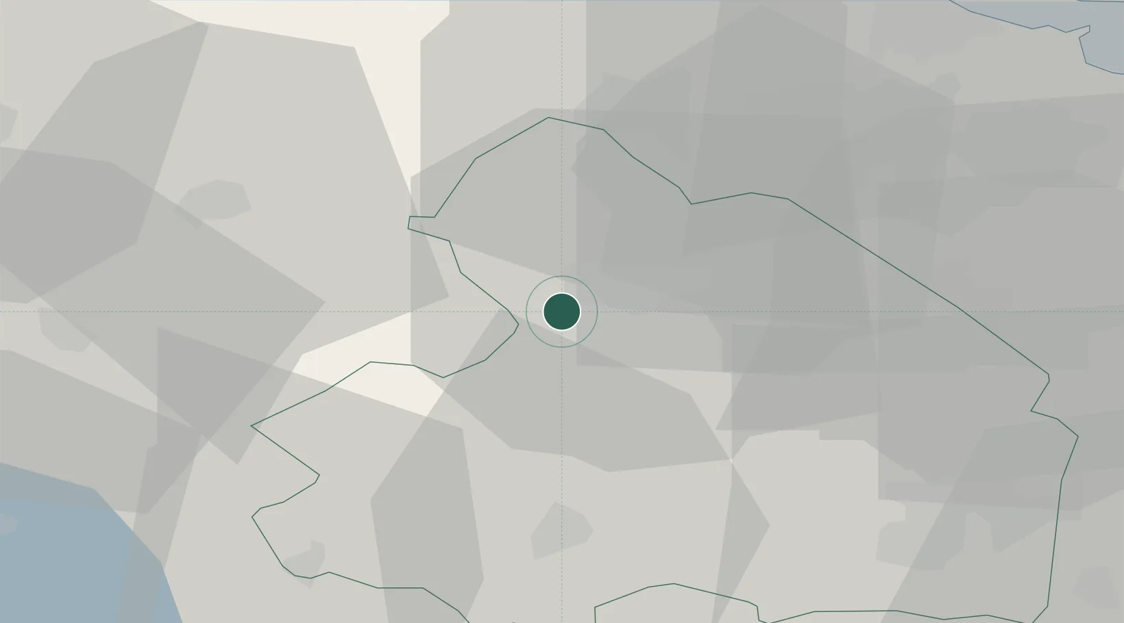
Location
Nearby Logistics Neighbours
Cities
- 1Kloosterveen3 km
- 2Smilde4 km
- 3Hijkersmilde7 km
- 4Norg8 km
- 5Hoogersmilde11 km
Airports
- 1Groningen Airport Eelde16 km
- 2Leeuwarden Air Base55 km
- 3Emden Airport67 km
- 4Borkum Airport70 km
- 5Twente Airport83 km
Trade Zones
DatabookThe Record of Consolidated Knowledge
Netherlands beyond logistics?