Transport Functions
Port
Road
Hub Profile
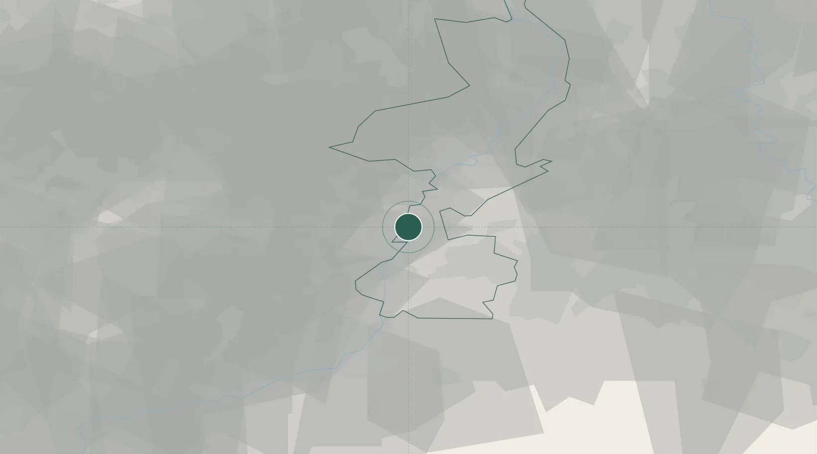
Place type
Populated place
Region
Limburg
Population
3,560
Time zone
Europe/Amsterdam
Elevation
47 m
Location
Nearby Logistics Neighbours
Cities
- 1Lanklaar4 km
- 2Eisden4 km
- 3Dilsen4 km
- 4Born7 km
- 5Illikhoven8 km
Airports
- 1Maastricht Aachen Airport10 km
- 2Geilenkirchen Air Base20 km
- 3Kleine Brogel Air Base28 km
- 4Kempen Airport Budel31 km
- 5Liège Airport46 km
Trade Zones
- 1Rheinische Revier SWZ44 km
- 2Freeport of Duisburg76 km
- 3ZFU Maubeuge, Louvroil153 km
- 4Luxembourg Free Port155 km
- 5ZFU Ronde Couture158 km
DatabookThe Record of Consolidated Knowledge
Netherlands beyond logistics?