Transport Functions
Port
Road
Hub Profile
Place type
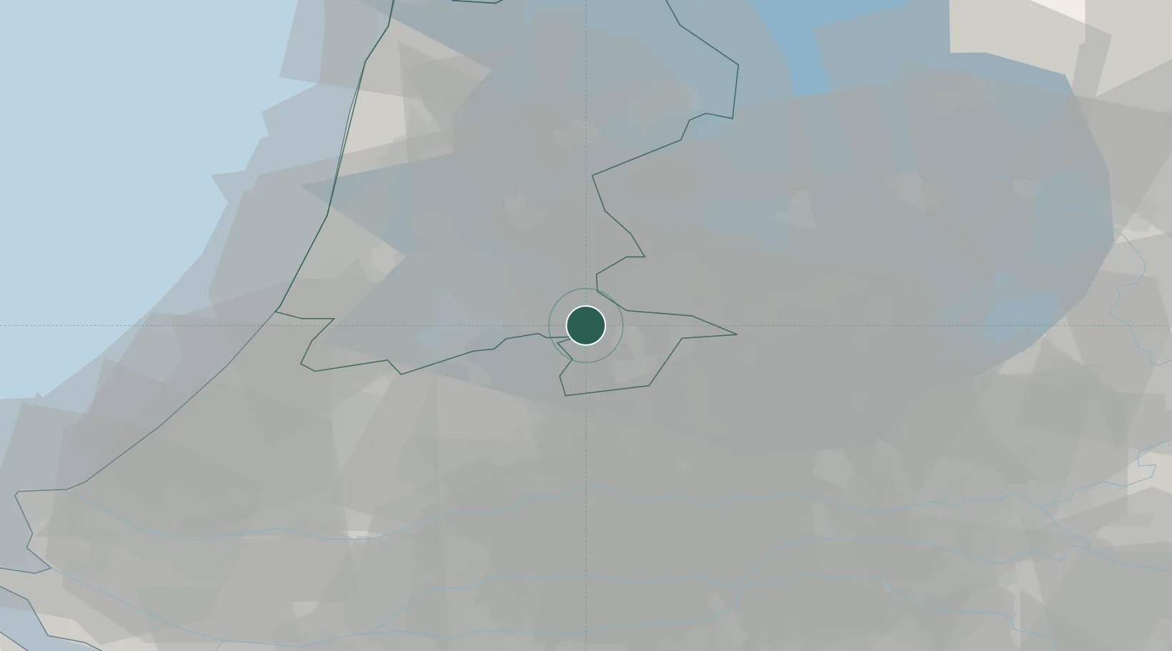
Populated place
Region
North Holland
Time zone
Europe/Amsterdam
Elevation
1 m
Location
Nearby Logistics Neighbours
Cities
- 1Hakkelaarsbrug2 km
- 2Nigtevecht4 km
- 3Muiden4 km
- 4Muiderberg4 km
- 5Nederhorst den Berg4 km
Ports
- 1Amsterdam15 km
- 2Zaandam23 km
- 3Ijmuiden39 km
- 4Scheveningen60 km
- 5Rotterdam61 km
Airports
Trade Zones
- 1Freeport of Duisburg140 km
- 2Rheinische Revier SWZ179 km
- 3Freeport of Emden183 km
- 4ZFU Tourcoing220 km
- 5ZFU Hem et Roubaix223 km
DatabookThe Record of Consolidated Knowledge
Netherlands beyond logistics?