Transport Functions
Road
Multimodal
Hub Profile
Place type
Populated place
Region
Granada Department
Time zone
America/Managua
Elevation
36 m
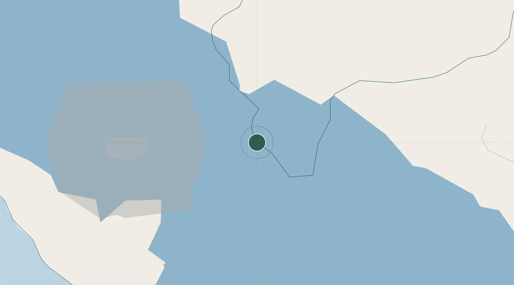
Location
Nearby Logistics Neighbours
Cities
- 1Los Brasiles17 km
- 2Tipitapa30 km
- 3San Benito (Tipitapa)31 km
- 4Las Maderas38 km
- 5Boaco40 km
Ports
- 1Puerto Sandino102 km
- 2Corinto150 km
- 3Puerto De Hencan224 km
- 4Bluefields227 km
- 5El Bluff233 km
Airports
Trade Zones
DatabookThe Record of Consolidated Knowledge
Nicaragua beyond logistics?