Transport Functions
Multimodal
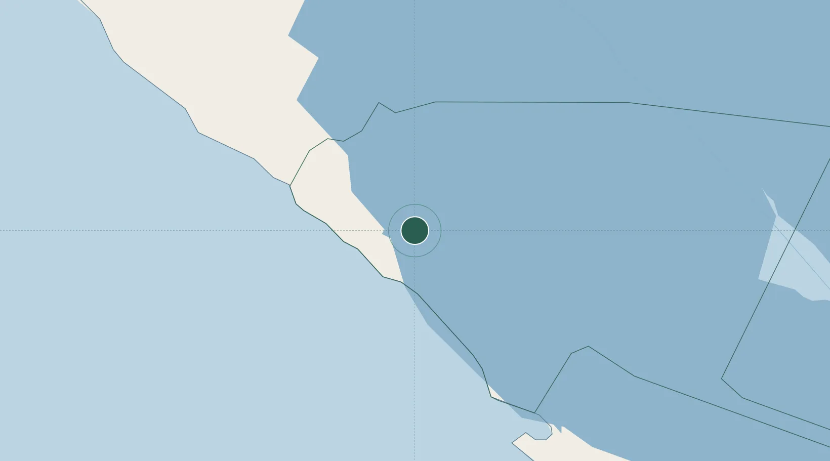
Hub Profile
Place type
Provincial seat
Region
Rivas Department
Population
2,638
Time zone
America/Managua
Elevation
44 m
Location
Nearby Logistics Neighbours
Cities
- 1Jinotepe55 km
- 2Diriamba57 km
- 3Santa Cecilia67 km
- 4San Rafael del Sur73 km
- 5Masachapa75 km
Ports
- 1Puerto Sandino123 km
- 2Corinto178 km
- 3Puntarenas201 km
- 4Puerto Caldera215 km
- 5Bluefields246 km
Airports
DatabookThe Record of Consolidated Knowledge
Nicaragua beyond logistics?